Dark Skies Cornwall

Stargazing at Lanyon Quoit on the West Penwith peninsula (Image: Su Bayfield)

West Cornwall has been awarded Dark Skies Status by the International Dark Skies Association. Over the previous four year I had the pleasure of working with a group of interested individuals whose dedication has brought about this wonderful designation.

Here is the press release:

Dark skies above West Penwith officially recognised with prestigious International Dark Sky Park designation

The skies above West Penwith are now officially recognised with the prestigious International Dark Sky Park Designation, awarded by the International Dark-Sky Association (IDA).

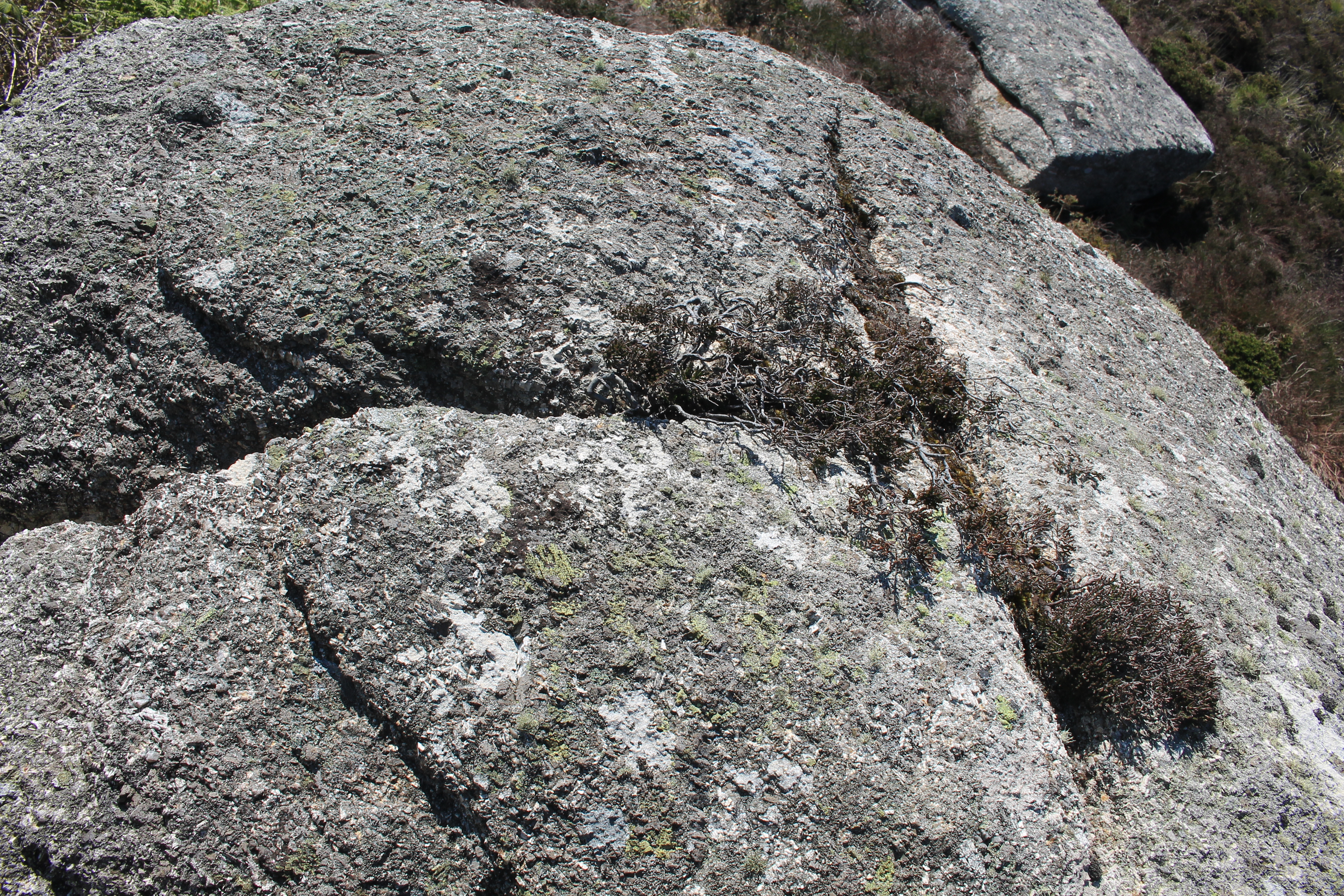
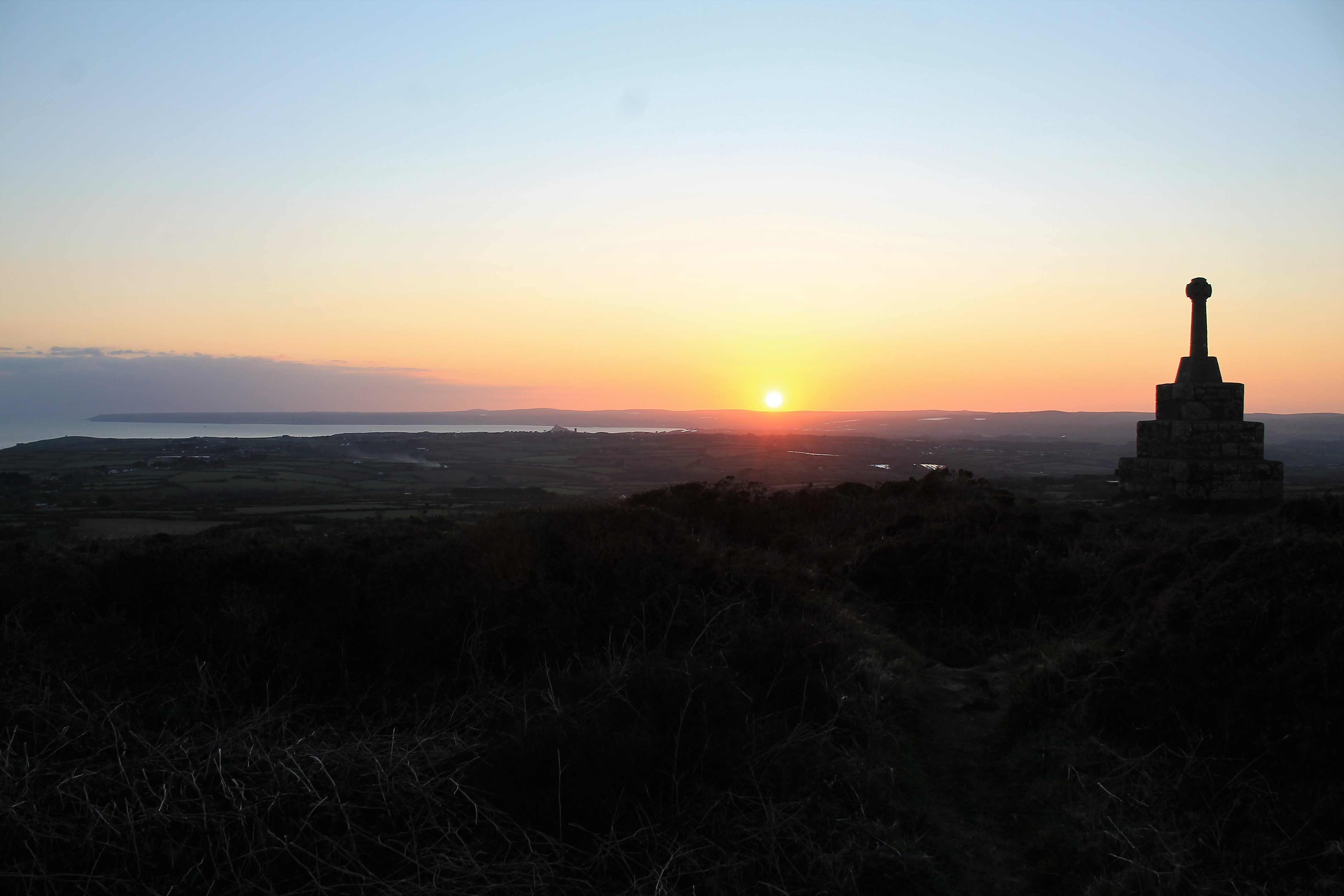
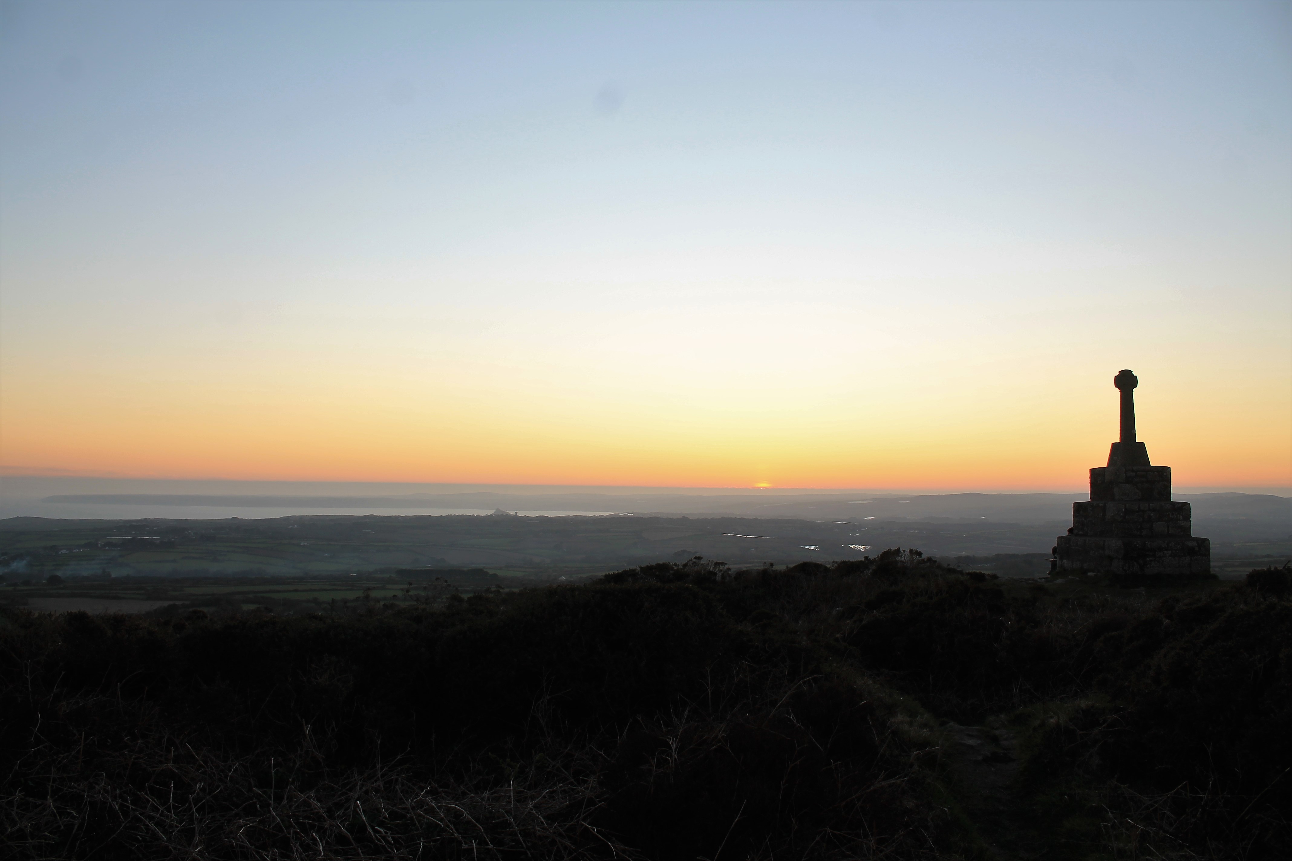
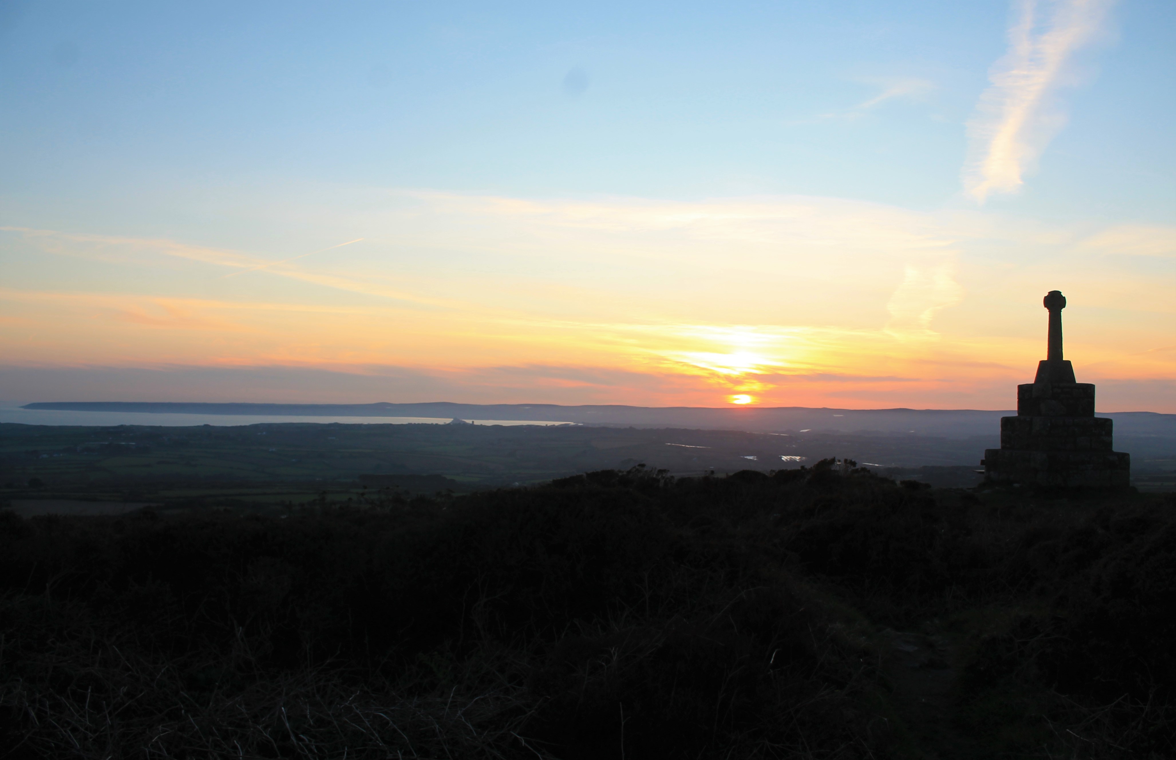
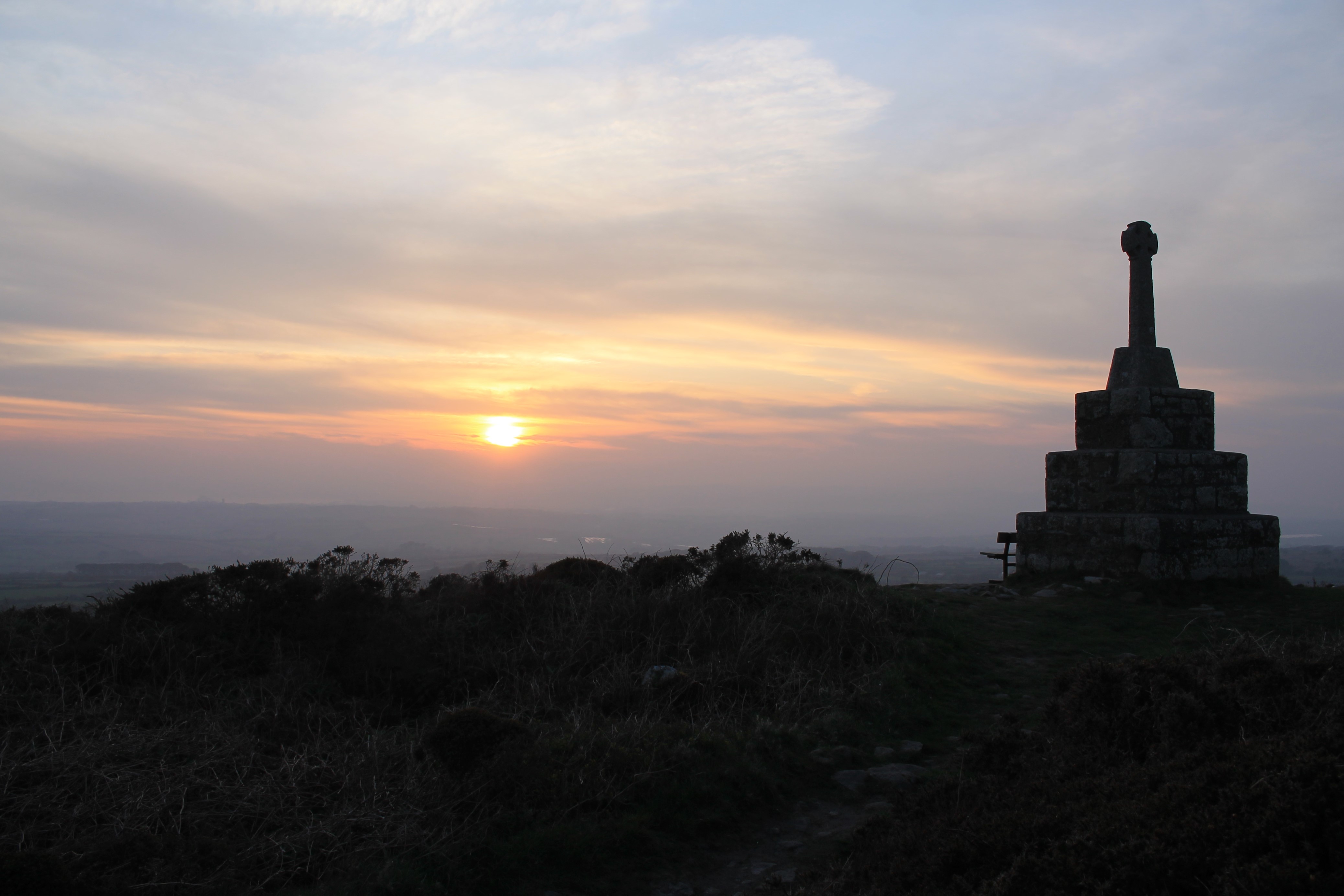
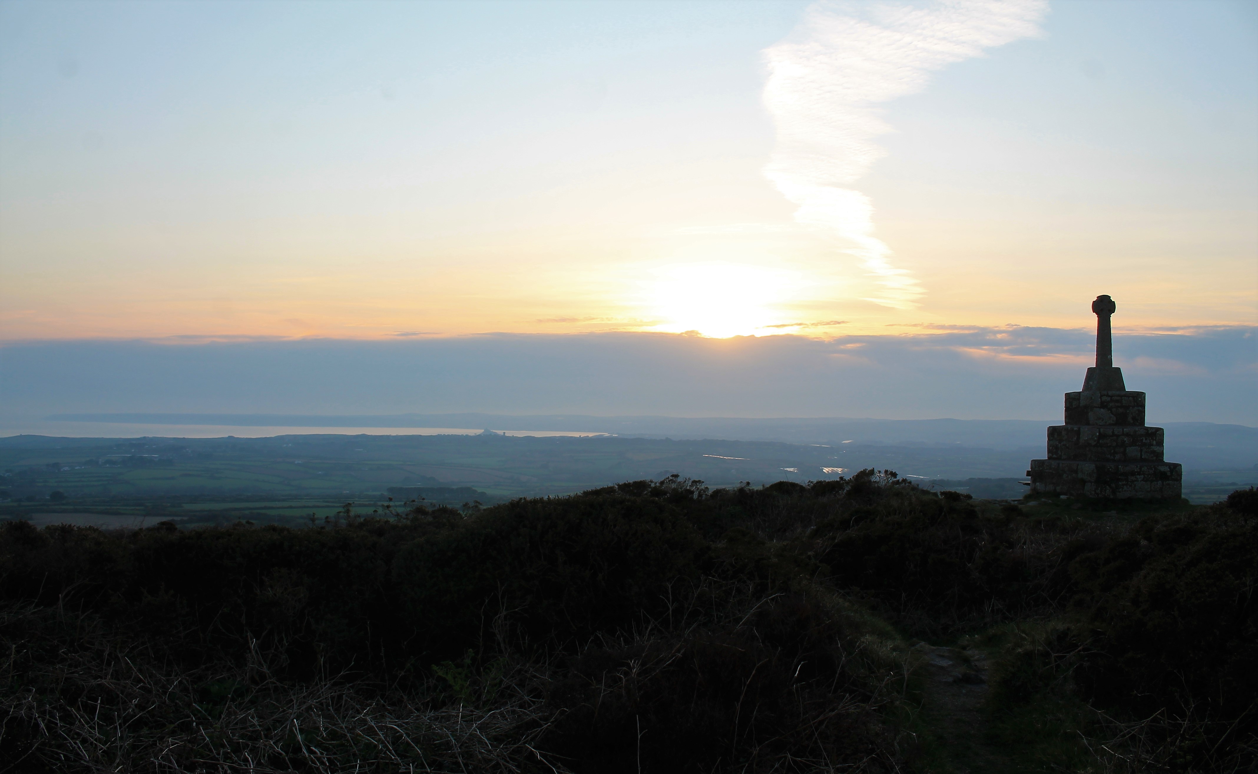
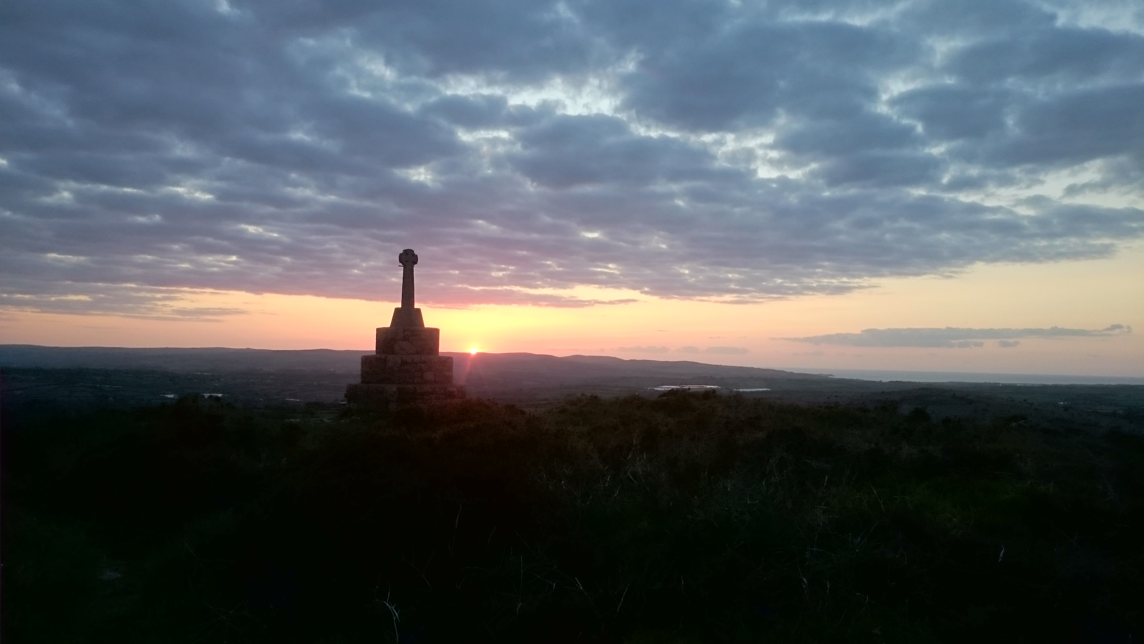
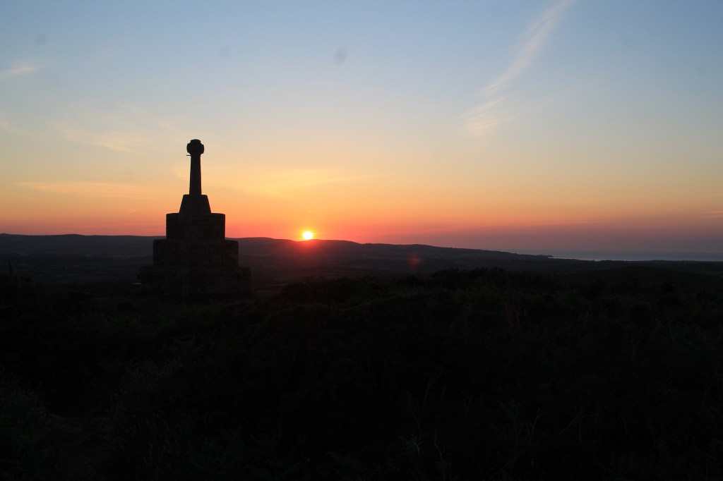
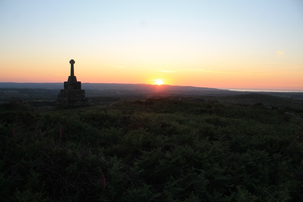
Recognised as an Area of Outstanding Natural Beauty since 1959, West Penwith is only the seventh area of the UK and the second in Cornwall (after Bodmin Moor) to become an International Dark Sky Park (IDSP). The West Penwith IDSP covers the westerly section of Cornwall’s AONB; it stretches around the coastline from the outskirts of St Ives, through to St Just, Sennen and around Land’s End to Mousehole. Inland it takes in Trethewey, Sancreed and New Mill. The IDA’s IDSP Designation recognises this area as being naturally dark at night, with minimal traces of light pollution, making West Penwith one of the best places in the world to view the beauty of the night sky.

Cornwall Council supported a partnership among residents, businesses and councillors to achieve the accolade. A Steering Group comprised of local Councillors, Cornwall Council Officers, PK Porthcurno, Land’s End Accommodation Providers, The National Trust, Cornwall AONB Unit, Mayes Creative, Penwith Landscape Partnership and other passionate locals led the efforts for this IDSP nomination.

“West Penwith never faltered in its pursuit to celebrate and protect its night skies,” stated Ashley Wilson, IDA’s Director of Conservation. “The Steering Group worked closely with IDA on the necessary components to craft a thorough and complete nomination. Through this experience, Cornwall Council encourages communities both inside and outside of its borders to look to the stars and do their part to protect this natural, cultural, and precious resource. We hope to see the success of these efforts continue to grow over time to protect night skies and the nocturnal environment across the landscape scale.”

A dark night sky has wide-ranging benefits. This designation means that the partnership will continue to work to:

  • Preserve and enhance the dark night sky above West Penwith Area of Outstanding Natural Beauty (AONB) for pleasure, leisure and to support the wellbeing of residents, visitors and wildlife
  • Raise awareness of the importance of a dark night sky and encourage a reduction in light pollution
  • Engage with individuals and groups, in the wider West Cornwall area, to grow an outreach and education programme for astronomy, nature, historic environment and human well-being
  • Guide residents and visitors to the most appropriate locations and opportunities for appreciating the dark night sky
  • Promote eco- and astro-tourism
  • Inspire other designated landscape areas, within Cornwall and beyond, to appreciate and protect their dark skies, both formally and informally.

Mayor of St Just-in-Penwith, Sue James stated:

“When I was Cornwall’s Cabinet Member for the Environment, I was asked to support two local Parish Councillors to achieve their goal to get the pristine skies above West Penwith recognised. We formed a Steering Group to gather and document the needed evidence, engage with local councils, residents and visitors and work with the IDA in Arizona, whilst also engaging with residents, local councils and visitors. We had to show not only that we had splendid dark skies (and we all knew that) but also that we valued them and could put in place measures to monitor and protect them.” 

Cornwall Council cabinet member for Environment and Climate Change, Martyn Alvey said:

“This is a tremendous community led achievement which officially recognises what we already knew, that West Penwith has a fabulous night sky which its residents are understandably proud of.  It means that more people will get to know about it and come to enjoy and appreciate it.”

Kevin Hughes (former Parish Councillor) explained his reason for wanting this important designation:

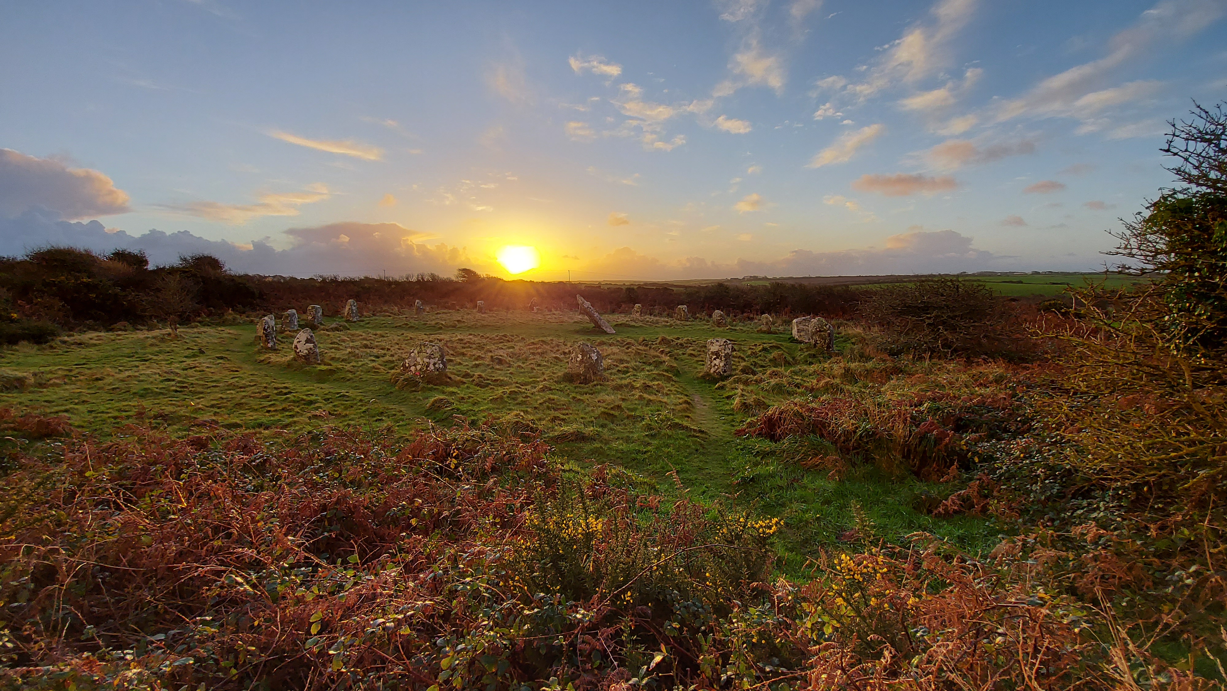
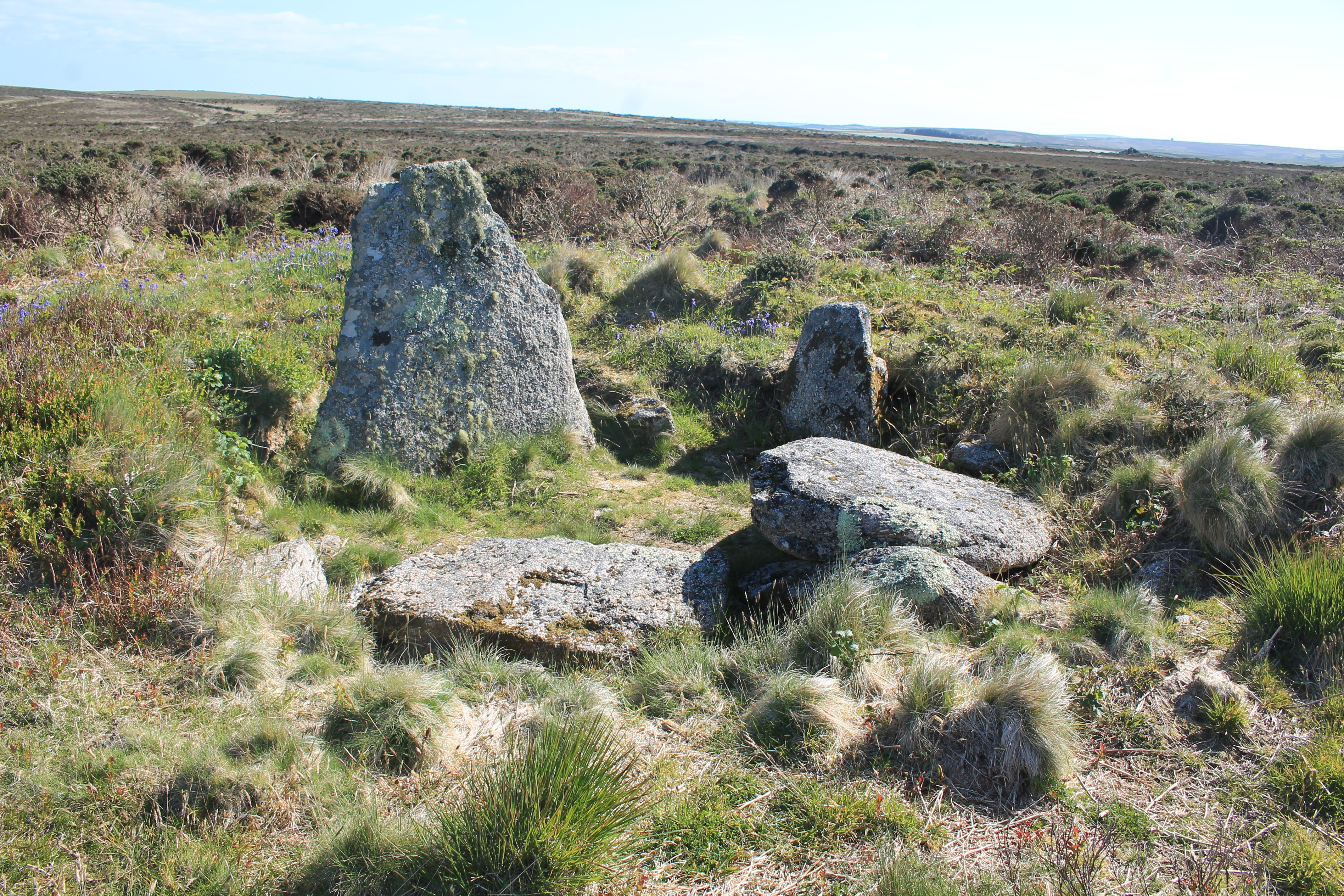
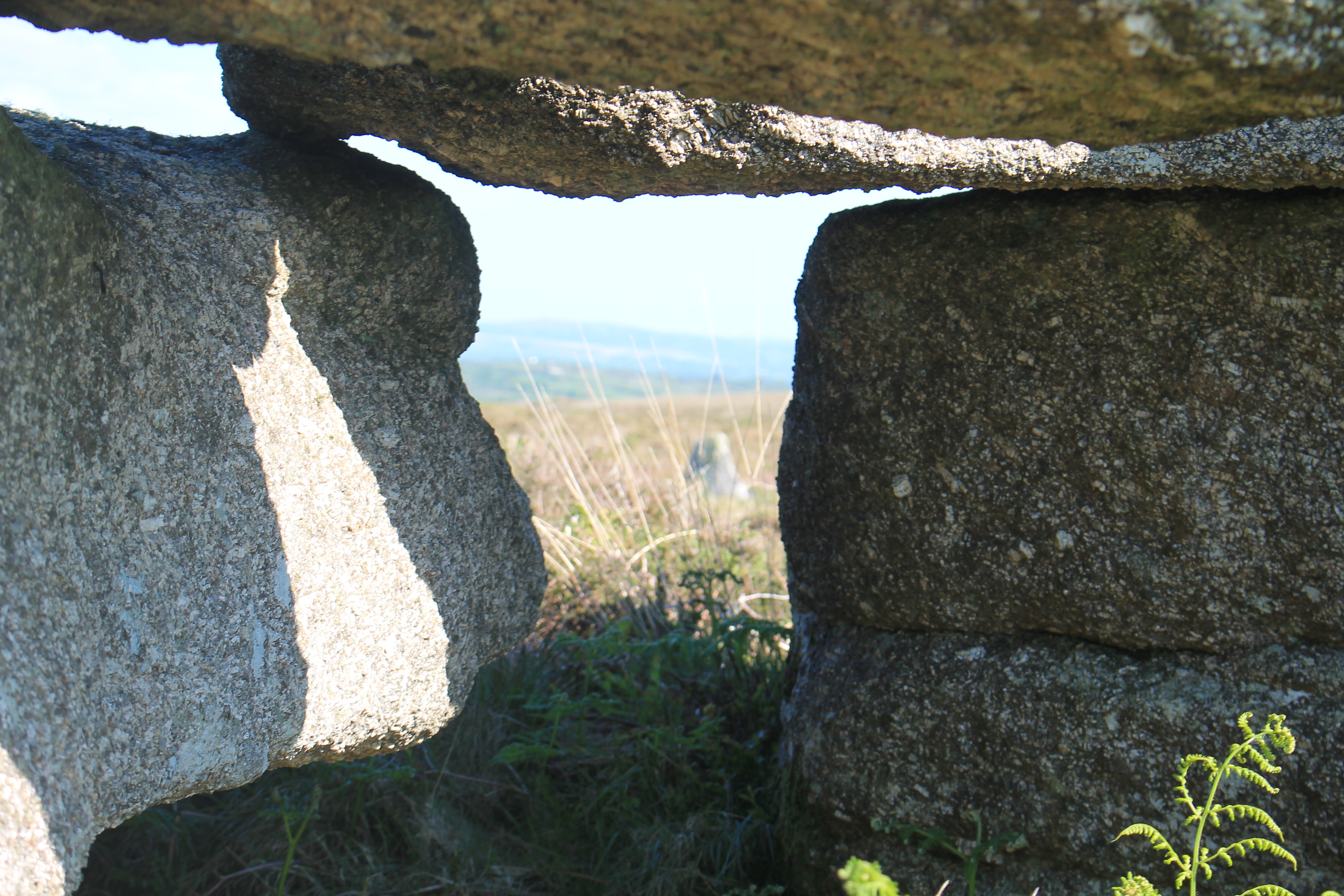
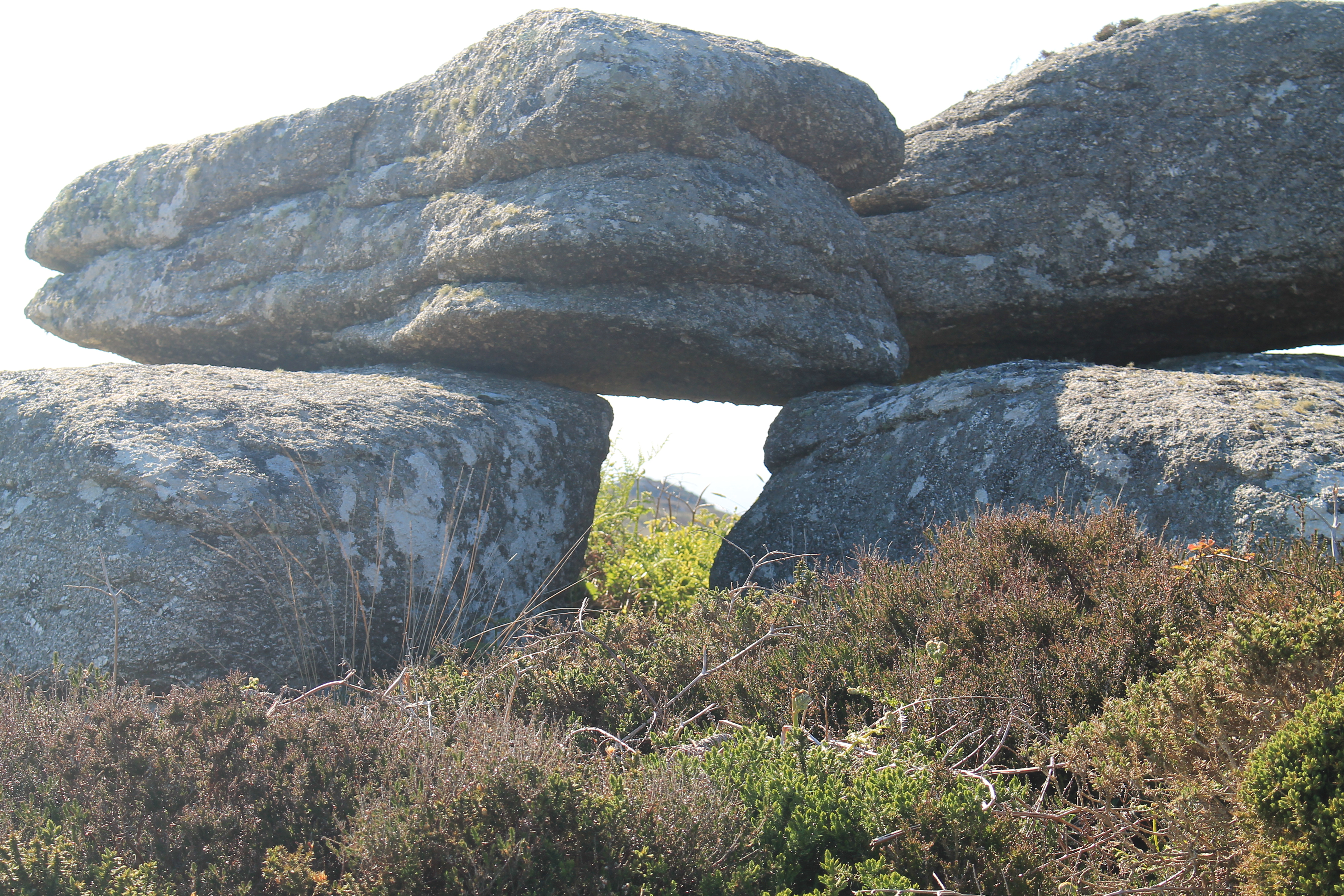
“Under a pitch black starry sky in West Penwith, when sitting by some of the ancient monuments, we are looking at the very sky that 2000 years or more ago our ancestors were looking at. We must protect that sky for future generations to also be able to appreciate and wonder at.”

The following excerpt from Dark Sky Island by Enya (2015) first inspired Kevin to support this movement:

“Twilight comes to close the day

And let the night break free,

and from deep blue skies the heavens rise.”

The Steering Group thanks all those within and beyond their community that have supported and encouraged their journey. While some individuals were involved with this process as part of their paid day job, many more have given their time as volunteers.

About the IDA International Dark Sky Places Program
The International Dark Sky Places Program was founded in 2001 as a non-regulatory and voluntary program to encourage communities, parks, and protected areas around the world to preserve and protect dark sites through effective lighting policies, environmentally responsible outdoor lighting, and public education. When used indiscriminately, artificial light can disrupt ecosystems, impact human health, waste money and energy, contribute to climate change, and block our view and connection to the universe. West Penwith now joins more than 185 Places that have demonstrated robust community support for dark sky advocacy and strive to protect the night from light pollution. Learn more by visiting www.darksky.org/conservation/idsp.
 
About the IDA

The mission of IDA is to preserve and protect the night-time environment and our heritage of dark skies through environmentally responsible outdoor lighting. Learn more at darksky.org.


A couple of rocking stones (logans!) and a possible prop on the Isles of Scilly

Having just returned from a trip to St Martin’s on the Isles of Scilly. I thought it would be worth mentioning a couple of interesting rocks that we came across while walking around the Island. I’m always on the look out of these with my partner and enjoy finding natural erratic’s which move (logan stones), or seem to have been propped up by a smaller rock. On this visit there were two of these worth mentioning from St Martin’s and then I also came across another logan earlier in the year on Bryher, while searching for the perfect place to watch the sunset.

The St Martin’s rock which moved when stood upon is found to the northern side of Chapel Downs, a short distance away from the Day Mark and just off the well trodden pathway leading around the eastern coastline. It was positioned near the coastline and a rocky outcrop, large enough to be significant in the landscape, but on a small enough pivot that it was easy enough for one person to rock back and forth.

Rocking stone found on St Martin’s

The propped stone was a mile or so away on the Burnt Hill promontory fort, this one was spotted by my partner as I was looking at a possible entrance grave and a couple of hut circles. A large boulder had what seemed to be a natural split down the centre and one half of the rock had been propped up by a smaller boulder making a gap underneath. Whether this had happened naturally is unknown but a number of props which have had a human hand playing a part have been identified on the mainland.

The final stone worth mentioning was noticed on a trip earlier this year while visiting Bryher. Looking for a perfect place to watch a sunset, this large boulder was on the western side of Samson Hill, overlooking the entrance grave and island of Sampson. The boulder was a large and most likely natural feature about 1/3 of the way down the hill and it seemed to be the perfect spot to watch a sunset from. Climbing onboard the rock itself didn’t noticeably move, but when a second person also scrambled onto sit on the top the stone began to rock back and forth. Not only does the boulder have a great view of an entrance grave underneath it, it also has a wonderful view of the sunset, and I liked to think that people have been visiting and rocking this stone for millennia.

Some Bodmin viewing frames and propped stones

Wandering around Bodmin Moor there are a number of well known viewing frames and propped stones. Positioned on the hilltops and slopes of the better known tors a large number were identified by Roger Farnworth. Articles about aome of these appear in Meyn Mamvro issues 63 and 85. (meynmamvro.com).

Some of them appear to have an astronomical alignment such as the Leskernick Propped stone which has a summer solstice alignment. Many of these frame other hilltops and significant rocky outcrops. Here are two which have not been mentioned by Rogers in the articles.

Garrow Tor prop. Found of the western slopes of Garrow this propped stone frames Alex Tor. Initial assessment shows this to be orientated to the west and Alex Tor would be in the position of the midpoint (equinox) sunset. Prop found by Jamie Ashley.

A second prop on the southern slopes of Brown Willy. This one frames Hawks Tor to the south. There does not seem to be any obvious astronomical connection and the frame points in a just of South direction. Thanks to William Arnold for pointing this one out.

There are lots of props and framing stations to be found in both Penwith and on Bodmin Moor. Other blog posts on this site about these include; Little Galva framing station and Carn Kenidjack propped stone.

Walking the Trelew Line

On May 29th as part of the CASPN’s annual day of walks and talks I led a walk from Boscawen-ûn following the Trelew line visiting a number of standing stones on route.

The Trelew line was first identified by Sir Norman Lockyer who was considering astronomical alignments from Boscawen-ûn to local features. He suggested the Trelew standing stone was in a November setting position when stood at the circle. Since then John Michel identified an intervening menhir, called Chyangwens, this is found in a local farm hedge. Visible from miles around, it is an impressive piece of granite. Another stone Toldavas extends the line further on from Trelew towards the Lamorna gap on the south coast of Penwith.

When I considered the Trelew line in my work at Boscawen-ûn I felt that it was less likely that it was used as an accurate marker of a solar position. Instead I consider that the stones radiating out from the circle were positioned to lead people either to or from the circle and the Lamorna gap, used as a route for people to travel between the two sites. A similar set of stones also radiate out from the Lamorna gap to the Merry Maidens!!

Why would people want to go to so much effort to mark a way between these two locations? If you are standing at Boscawen-ûn on the winter solstice the sun would rise out of the sea, from a cut in the horizon which the Lamorna gap makes. It is a nice idea to think that people would walk between these locations, maybe in and around the solstice itself. I don’t believe they stopped there, I think they could have continued their journey to Tregeseal to watch the winter solstice sunset in another sea gap. This time one that frames the Isles of Scilly. But that’s a longer story and for another time!!!

Anyway here are some pictures of the Trelew stone and Chyangwens.

Please follow CASPN on facebook or look at their website to find out more https://cornishancientsites.com/

Old style photography

I’ve started messing around with an old analogue Canon camera with a battered lens, shooting in black and white film then developing the film myself using caffenol techniques. Caffenol.org/recipes. I’m liking some of the results and thought I would share.

Fernworthy Stone Circle Dartmoor
Grey Wethers Double Circle. Dartmoor
Merrivale Complex. Dartmoor
Boscawen-ûn Stone Circle, Cornwall
The Hurlers, Bodmin Moor

Archaeoastronomy workshops and walks

Please contact me through this website to save a spot on any of these events.

Part of the Tin Coast Events Programme. Commissioned by the Tin Coast Partnership and Cornwall 365.

Archaeoastronomy Workshop and Field Practice Day

If you have ever wanted to learn some of the techniques used in archaeoastronomy, here is your chance. This workshop day will be in two parts and start with an introductory morning talk, followed by discussion of techniques and software which can be used to look at how the ancient skies around Cornwall would have differed to today. The afternoon will be out in the field and allow people to put into practice some of the techniques that they have learnt in the morning. Carolyn will lead both sessions.

First workshop (20th April 2021) – SORRY NOW FULL

20th April, Online 10-1pm (morning session)

Introductory talk and workshop – techniques which can be used in the field

20th April, Tregeseal. 2-3.30pm – putting ideas into practice. An outdoor workshop (afternoon session)

Putting ideas and skills to use In the field landscape around Tregeseal

THIS IS NOW FULL

Second workshop (18th May 2021) SORRY NOW FULL

18th May, The Knut St Just. 10-1pm (morning session)

Introductory talk and workshop – techniques which can be used in the field

18th May, Tregeseal. 2-3.30pm – putting ideas into practice. An outdoor workshop (afternoon session)

Putting ideas and skills to use In the field landscape around Tregeseal

Walking Tours

The Ritual Landscape around Tregeseal and its Connections to the Sky (21st May) – SORRY NOW FULL

This walking tour will take people on a 2.5 mile tour of the ritual landscape around Tregeseal. It will visit a stone circle, barrows, and a stone row. Carolyn will lead the walking tour and talk about each of the sites visited and if they relate to the night sky, how they do this.

There will be lots of opportunity to ask questions and learn more about the ancient landscape within the Tin Coast area.

The walk itself is easy-moderate, the ground is uneven in places and can be muddy at times.

Friday 21st May 2021 10am – Guided walk through the landscape around Tregeseal

Booking essential as number limited

The Ritual Landscape around Boskednan and its connections to the Sky. (23rd April) – SORRY NOW FULL

This walking tour will take people on a 3 mile tour of the ritual landscape around Boskednan. It will visit a stone circle, barrows, menhir, and a holed stone. Carolyn will lead the walking tour and talk about each of the sites visited and if they relate to the night sky, how they do this.

There will be lots of opportunity to ask questions and learn more about the ancient landscape within the Tin Coast area.

The walk itself is easy-moderate, the ground is uneven in places and can be muddy at times.

Friday 23rd April 10am – Guided walk through the landscape around Tregeseal

Booking essential as number limited

Please contact me through this website to save a spot on any of these events

The Framing of Sperris Quoit

Sperris Quoit is located in West Cornwall and is an example of one of the earliest stone monuments found here in the UK dating from the Neolithic. A type of megalithic burial chamber, this Quoit is not as impressive as its neighbour Zennor, with only one upright it is completely missing its capstone. Although excavations found a cremation pit which gives evidence for its purpose.

IMG_0591
Sperris Quoit

Just above the quoit are a number of interesting moor stones, some of these are capstone shaped and you can see where the inspiration for the design of some of the West Cornwall quoits came from. One collection of rocks on slightly higher ground to the quoit has a square gap through which you can look.

IMG_0603
Framing stone

In one direction the quoit is framed and in the other direction a local headland.

IMG_0593
Framing of Sperris Quoit

IMG_0605
Framing of headland

If you clamber on top you will see one of the stone has some deep etchings into the surface, whether these are natural or manmade is hard to tell, but the position of the stone and orientation of the etchings are of interest. Forming a T shape, the top of the T runs from 230 degrees in the direction of the headland to 50 degrees in the direction of the quoit.

IMG_0600
Etchings

Underneath the frame seems to follow the same orientation. This would mean that the winter solstice sunset would fall over the headland and shine through the framed gap onto the quoit. Giving an illumination of the stone at this most ceremonial time of the calendar.
This has not been tested and would need to be tried out observationally before confirmation of this alignment could be verified.

The framed headland itself as a position for winter solstice is a great choice as it is a liminal location. The level of the sea horizon changes with the Moon phase, meaning that you may get the sunset onto a high sea horizon above the headland, or just onto the headland itself. If it set into the sea, you would have the added opportunity of seeing a green flash while looking through the framing stone.

Watching the Sun

Watching the Sun much in the way that many people have in the past…..

At equinox the daily displacement of the Sun is at its greatest. moving past this towards the solstice sees a slow decrease in its rising and setting positions along the horizon. One question is how noticeable a change does this make from day to day, particularly with a long and distant sightline?

The following images have been taken from the summit of the Iron Age hill fort Castle Pencaire looking towards west Cornwall and Penwith.

There will be an image for many of the sunsets during isolation, I will try and update regularly,  with the intention of demonstrating how visible the daily displacement is to someone making observations and watching the Sun. This is inspired by mayescreative.com  #seventeensuns #watchingthesun HLF project which is revisiting the seventeen years that Schwebe made solar observations, which lead to his discovery of the solar cycle.

290320
March 29th sunset at 19.50 BST, 277 degrees. One week past spring equinox the Sun now displaces to the north
310320
March 31st sunset at 19.53 BST, 278 degrees. Sun has moved one degree to the north
010420
April 1st sunset at 19.54 BST, 279 degrees. Sun has moved one degree to the north
020420
April 2nd sunset at 19.56 BST, 279 degrees. Sun has moved less than one degree to the north
030420
April 3rd sunset at 19.57 BST, 280 degrees. Sun has moved one-degree to the north
040420
April 4th sunset at 19.59 BST, 281 degrees. Sun has moved one-degree to the north
IMG_0104 (2)
April 6th sunset at 20.02 BST, 282 degrees. Sun has moved one-degree to the north
070420
April 7th sunset at 20.0 BST, 282 degrees. Sun has moved less than one-degree to the north
080420
April 8th sunset at 20.05 BST, 283 degrees. Sun has moved one-degree to the north
090420
April 9th sunset at 20.07 BST, 284 degrees. Sun has moved one-degree to the north
100420
April 10th sunset at 20.08 BST, 284 degrees. Sun has moved less than one-degree to the north
IMG_0238 (2)
April 11th sunset at 20.10 BST, 285 degrees. Sun has moved one-degree to the north
IMG_0267 (2)
April 13th sunset at 20.13 BST, 286 degrees. Sun has moved more than one-degree to the north
140420
April 14th sunset at 20.15 BST, 286 degrees. Sun has moved less than one-degree to the north
150420
April 15th sunset at 20.17 BST, 287 degrees. Sun has moved one-degree to the north
160420
April 16th sunset at 20.18 BST, 288 degrees. Sun has moved one-degree to the north
210420
April 21st sunset at 20.26 BST, 290 degrees. Sun has moved two-degrees to the north in four days.
IMG_0386
April 22nd sunset at 20.27 BST, 291 degrees. Sun has moved one-degree to the north.
230420
April 23rd sunset at 20.27 BST, 290 degrees. Sun has moved less than one-degree to the north.
sunset moved
April 28th sunset at 20.37 BST, 295 degrees. Sun has moved 5 degrees to the north in 5 days.
080520
May 8th sunset at 20.52 BST, 299 degrees. Sun has moved 4 degrees to the north in 10 days.
110520
May 11th sunset at 20.56 BST, 300 degrees. Sun has moved 1 degree to the north in 3 days.
DSC_3410
May 12th sunset at 20.58 BST, 301 degrees. Sun has moved 1 degree to the north.
May 30th sunset at 21.21 BST, 307 degrees. Sun has moved 6 degree to the north in 18 days
May 31st sunset at 21.22 BST, 307 degrees. Sun has moved 0 degree to the north
June 1st sunset at 21.23 BST, 307 degrees. Sun has moved 0 degree to the north

Little Galver (Galva) and the Midpoint Sun

I first encountered Little Galver’s viewing station during an exceptional Pathways to the Past (CASPN) walk led by David Giddings. Nestled within the West Penwith moors, this hidden gem captivated me with its triangular arrangement of stones that perfectly frames the imposing Carn Galver.

During that initial visit, I took a compass reading of approximately 270 degrees. This sparked my curiosity about how the framed Carn Galver would align with the setting sun during the equinox. On the evening of the equinox, I finally had the opportunity to witness this phenomenon. As the sun descended, it didn’t merely set; it gracefully rolled down the spine of the hillside. This mesmerising display unfolded over nearly fourteen minutes, with the sun dipping in and out of the terrain’s natural undulations.

It was a breathtaking solar spectacle, evoking a sense of wonder and connection to the ancient past. One can’t help but ponder: who last observed this alignment? Perhaps it hasn’t been seen since prehistoric times.

Dark skies and astro tourism

A lovely writeup from Sophie Lam in the Inews about finding dark sky spaces. Obviously, I’m biased but Cornwall has some wonderful stargazing spaces. Including Bodmin Moor which is a IDA Dark Sky Park and West Cornwall which is currently applying to be a Dark Sky Reserve.

Here is a link to the article which includes a quote from me about the wonders of the Cornish night sky.

How to book a stargazing trip in the UK and further afield _ inews