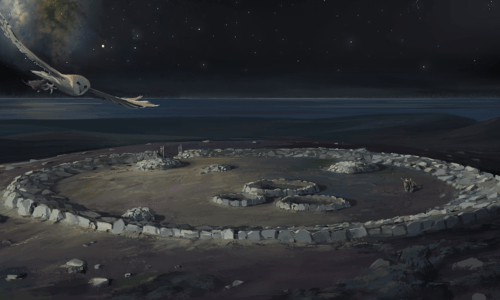
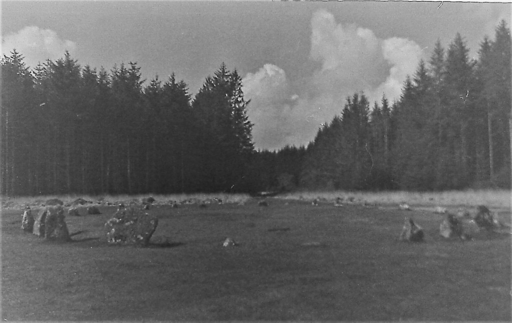
Dr George Dransfield meets up with archaeoastronomer Carolyn Kennett at Bodmin Moor to find out more about her research on the Goodaver Stone Circle.

Link to the program page

Dr George Dransfield meets up with archaeoastronomer Carolyn Kennett at Bodmin Moor to find out more about her research on the Goodaver Stone Circle.
Link to the program page
A recent talk I gave at the library in St Ives was recorded and has been made available online, here is a link to it,
I am really excited to share with you that my next book Uranus and Neptune is complete and heading off to the printers. Reaction Press have suggested a November release, I will update you all as soon as I know. More details about this book can be found below.
My attention has now turned back in time to prehistory and I have been putting together an updated gazette of ancient sites on Bodmin Moor called Prehistoric Bodmin Moor. This came about due to a conversation with Cheryl Straffon who produced a comprehensive guide to the sites on Bodmin Moor, which is now out of print and very difficult to get hold of. She did not want to update her book so I have put together an updated replacement full of lovely photos by myself and Jamie Ashley. It includes all the larger and more accessible prehistoric sites including the circles, rows and quite a lot more. I am hoping to have this at the printers in the next couple of months and will be selling it through Amazon online as well as having printed copies to sell through here. More to come soon 🙂
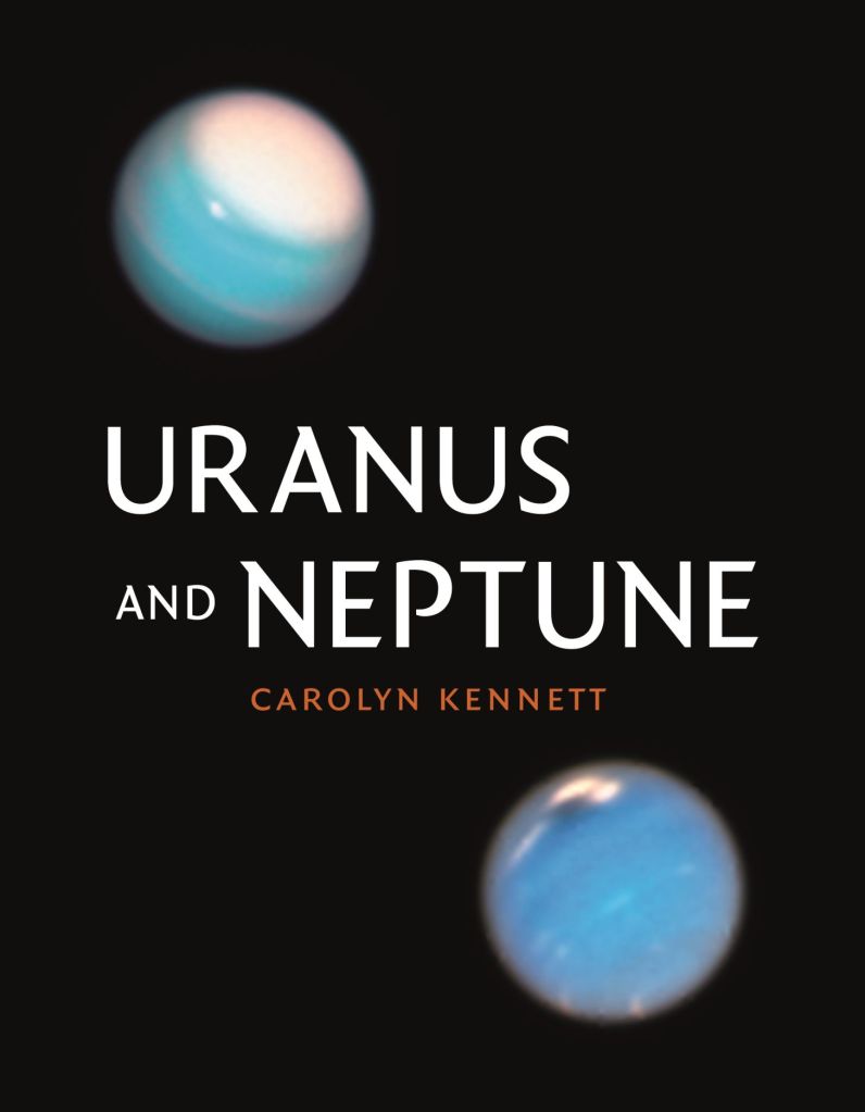
A comprehensive, accessible, and stunningly illustrated introduction to these far-off worlds.
The most distant planets in our solar system, Uranus and Neptune were unknown by the ancients—Uranus was discovered in the 1780s and Neptune only in the 1840s. Our discovery and observation of both planets have been hampered by their sheer distance from Earth: there has only been one close encounter, Voyager 2 in the late 1980s. The Voyager mission revealed many enticing details about the planets and their moons but also left many more questions unanswered. This book is an informative and accessible introduction to Uranus, Neptune, and their moons. It takes readers on a journey from discovery to the most recent observations made from space- and ground-based telescopes, and it will appeal to amateur and professional astronomers alike.

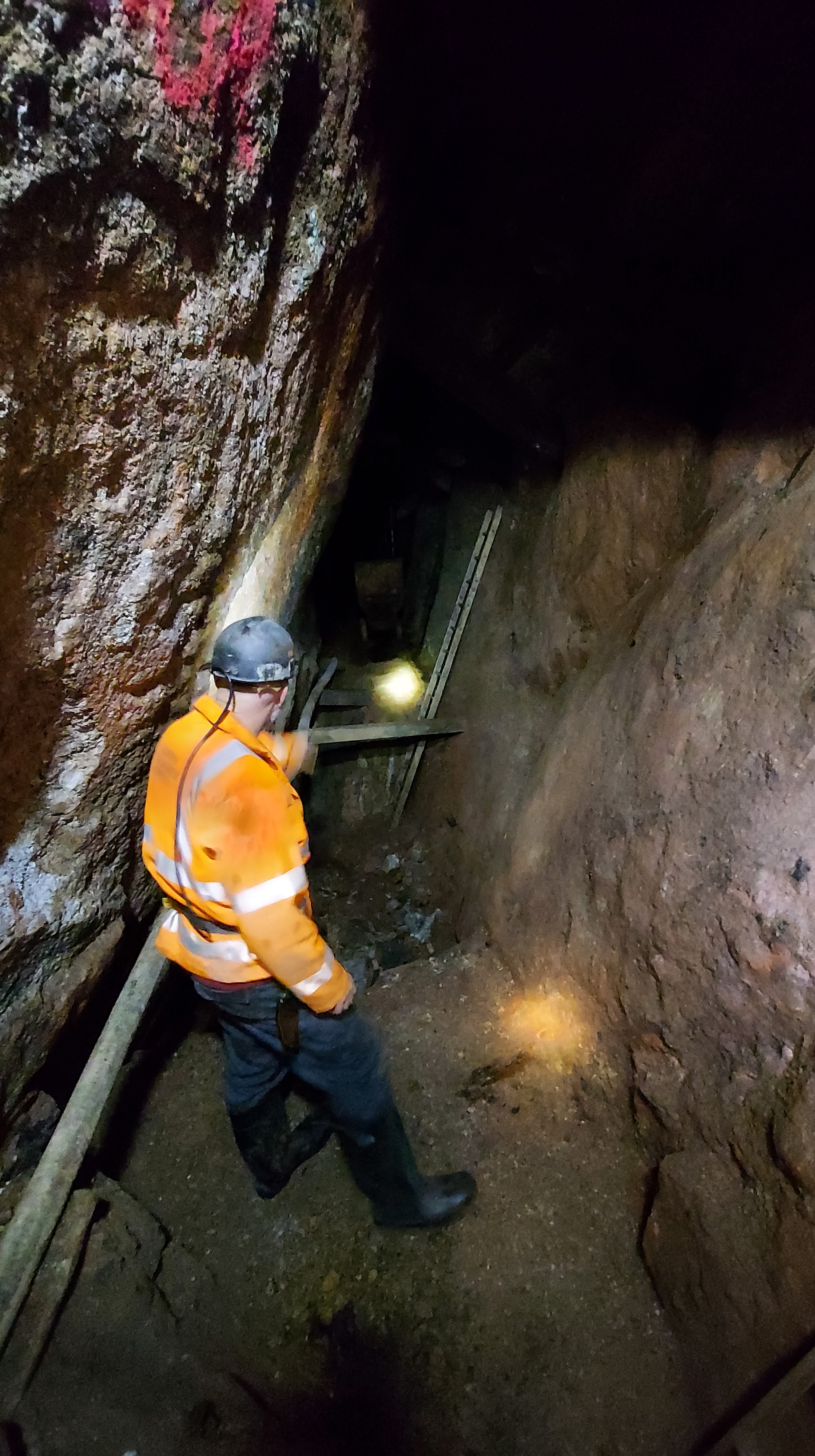
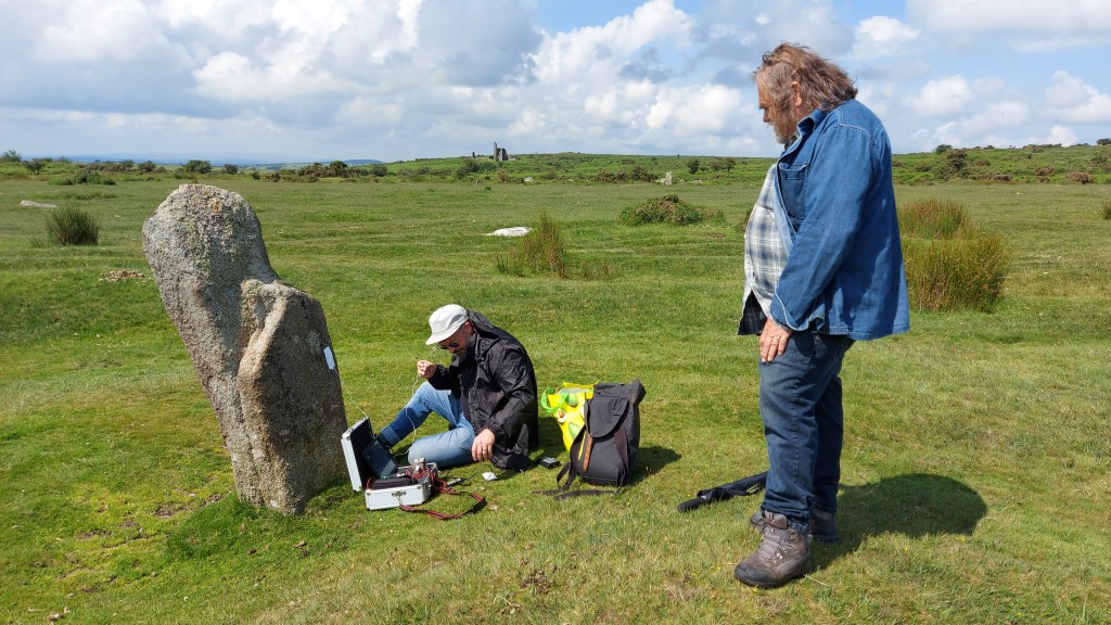
How did we weigh the Earth (and why did this go beyond simple curiosity)? This may be a question people asked themselves during childhood, and have not considered since. Yet it is a question a small group of scientists, including myself, have returned to as we research experiments conducted in the 1820s in a Cornish mine to measure the acceleration due to gravity of the Earth.
In 2022 our intention to re-create the mine experiments by building a replica Kater invariable pendulum and taking it down a Victorian mine in west Cornwall to make measurements of gravity. We will set the pendulum in two locations, one overground and one underground, and time the swing of the pendulum in both locations. The difference in the rate allows us to calculate the amount of gravitational pull on the pendulum, as the underground pendulum will swing at a slower rate. The original experiment was conducted by George Biddell Airy and William Whewell in the deepest mine in England, Dolcoath. This has unfortunately closed and the lower recesses are flooded, so we are using a mine named Rosevale, which gives us a difference of 250 metres between the overground and underground stations. Although Rosevale is not as deep as Dolcoath (700 metres at the time of the original experiment), it gives the opportunity to explore how the experiment was conducted in what can only be described as less than ideal conditions. Mines are dirty places which can be excessively damp and hot. During the original experiment the scientists would have had to contend with vibrations and noise from the working environment, making their achievements all the more significant.
Why is this all important now you may ask? Yes, simple curiosity does play into this but we find ourselves in a time when the power of gravity is something we have learnt to manipulate and overcome. There are frequent launches into space and discussions of journeys to far-flung destinations such as Mars. Without the arduous and at times dangerous early experimentations into measuring the gravity of the Earth untaken by Airy, Whewell and others we could still be stuck without the knowledge to reach beyond our own planet. Therefore we think it is the perfect time to highlight the work they undertook and their achievements in what was an important building block for us to travel into space.
Blog post first appeared here –
First appeared in Meyn Mamvro Issue 100, First Series, Winter 2019
https://www.meynmamvro.co.uk/archive/

The importance of the Sun has been recognised throughout history. This luminous body defined the lives of people it shone on and the clocklike regularity of its rise and the set was well understood by humanity. Due to its significance symbolic representation of the Sun stretches far back into prehistory. Designs including the Sun weren’t uncommon and by the Bronze Age examples of solar symbolism are found across a range of mediums. Drawings and designs were often abstract in nature. Representation included circles, waves and cross shapes. The cruciform shape in particular has been linked to the Sun by Mary Cahill (2015) and her work on Irish Sun discs. These are flat circular objects made of gold, designed to shine brightly when sunlight radiates onto them. The etching of a cross on the surface shows the rays of the Sun in a conceptual way, maybe representing various solar events such as; Sundogs, pillars, rays and halos. Although no Sun discs have been found in Cornwall, these golden objects have also been linked to the lunula. A lunula was found with a pair of Sun discs in Coggalbeg, Co Roscommon, confirming an association. Furthermore designs on lunula lend themselves to observation with sunlight. There are examples of lunula found here in Cornwall and if you get the chance it is worth visiting the Penlee House Gallery where the Penwith Lunula is on display.

Sun discs with cross-shaped designs were found at Tedavnet, Co. Monaghan Ireland. Image Credit: The British Museum.
Other objects discovered in Cornwall from this period incorporate a cross design. Although perhaps not as glamorous as a golden disc, local urns can include a similar decoration. Trevisker style urns are a design of urn which are predominantly found in the South West of the UK. Dating from the Bronze Age the style is known for its hash/dash and zig-zag lines and use of local materials such as gabbroic clay from the Lizard peninsular. On occasion, the urns have a cross or cruciform design within the interior of the base. This seems to be a rare occurrence but there have been examples of cross based urns found at the Trevisker village excavation, Boleigh barrow, Tregeseal chambered tomb and an example from further afield in Kent. This final example was placed in a ring ditch, and the soot recovered from inside the Urn was radio carbon-dated to 1600-1320 cal BC. It was found shattered into over 200 pieces but was reconstructed, with its internally crossed base being clearly observable.
The urn from the Tregeseal chambered tomb was recovered by William Copeland Borlase in 1879. Found at the end of the passage, in a separate area, it was recovered almost complete by Borlase during his excavation. It now resides within the British Museum. Tregeseal Chambered tomb is part of a group of Bronze Age entrance graves in Penwith which include Bosiliack, Tregiffian and Pennance. As an aside radiocarbon dating results on a burial at Bosiliack gave 1690-1510 cal BC (Jones, A and Thomas, C. 2010) a similar date to the urn found in Kent. The Tregeseal urn is a large example and is 21 inches in height. The Cross shape was meticulously drawn in plan form at the time. The plan was reproduced in the London Illustrated Times and it can also be seen on the wall of the Penlee House Gallery Museum in Penzance.

Trevisker Urn from Tregeseal. Image Credit British Museum Collection Online.
The cross itself would not be integral to the structure of the urn. There seems to be no practical explanation as to why an urn of this size would have this addition in the base. It is therefore interesting to consider if some Trevisker urns could be following the tradition of Sun discs and offer a design that is indicative of solar symbolism? One aspect which strengthens the case of this idea is that the Urn would have started as a disc shape on which the cross shape would be added. Then the sides would have been added to the urn creating the final vessel. Looking down from the mouth of the urn it would have clearly taken on representation of the Sun in a similar way to the Sun disc design. An alternative explanation has been offered by Kavanagh, R (1973) who suggested that the cross was added to demonstrate a bottom of a basket and was a nod to the basketry traditions of the period.

The Tregeseal Urn base – in plan.
Image credit: Report by W.C Borlase circa 1879
The Tregeseal example was discovered within the tomb base up, containing cremated remains. So the cross would have been above the remains. This could have been intentional. Many funerary urns are found base up. A cross at the top could represent a number of ideas. A Sun in the dark? A route to the heavens? A set Sun? There was just one time of the year which the Sun would shine down the chamber to its rear. This was the winter solstice sunrise. A recent survey undertaken by Carolyn Kennett and Grenville Prowse supervised by Penwith Landscape Partnership archaeologist Jeanette Radcliffe found the passage to be orientated at 128degrees. This orientation towards the solar extreme of winter solstice sunrise is in common with local tombs at Bosiliack and Pennance. On this day the sunlight would shine down the passageway hitting the back upright stone at the rear. The urn was positioned behind this back stone in a separate area or cist. Although currently it is difficult to understand the full design of the tomb, as this rear section has been removed and our understanding is reliant on the original plan from the Borlase excavation. It is also worth considering if the positioning of the urn in a separate section was intentional? This position would ensure that no natural sunlight would reach the urn at any time. The symbolism may have shown that it was providing its own light, even on this important day of renewal in the solar calendar.
A photograph taken by Gibson and Sons at the time of the excavation shows a possible blocking stone at the start of the passageway, which would have further limited light down the passage on the solstice. There is no evidence remaining of this stone now, so it is difficult to understand the overall effect this would have had on limiting light at the solstice. It is worth remembering that the final resting place of this urn probably came after a life of servitude. The urn in Kent had traces of animal fats within it and was probably used as a transportation vessel for food before its final role as a funerary urn.
Trevisker style urns are not the only vessels to include crosses on their base. Although in general this cruciform addition to urns is rare and seems to be reserved for the more decorative funerary examples. Other examples of cross based urns have been found in Ireland, Scotland and Yorkshire.
As a final thought, I doubt we shall ever know the full truth behind this oddity in the design, but it is a nice idea to consider that the cross was added by our ancestors to bring light to the darkest of places.
Cahill, M. (2015) Here comes the Sun – Solar symbolism in Early Bronze Age Ireland. Archaeology Ireland 29(1), 26-33,, 2015.
Jones, A and Thomas, C (2010) Bosiliack and a reconsideration of Entrance Graves. Proceedings of the Prehistoric Society. 76, 2010, pp 271-296.
Kavanagh, R (1973) The Encrusted Urn in Ireland, Proceedings of the Royal Irish Academy: Archaeology, Culture, History, Literature, Vol. 73 (1973), pp. 507-617
Even with its challenges, 2021 has been a busy year, both for my own practice and projects that I have been working on with Mayes Creative.
Here’s a bit of a round up of some of the fun and antics I’ve been involved with this year. Most of it is here in Cornwall and I’m really grateful to have met some wonderful people along route, making friends with lots of amazing creatives, historians and scientists.
In no particular order

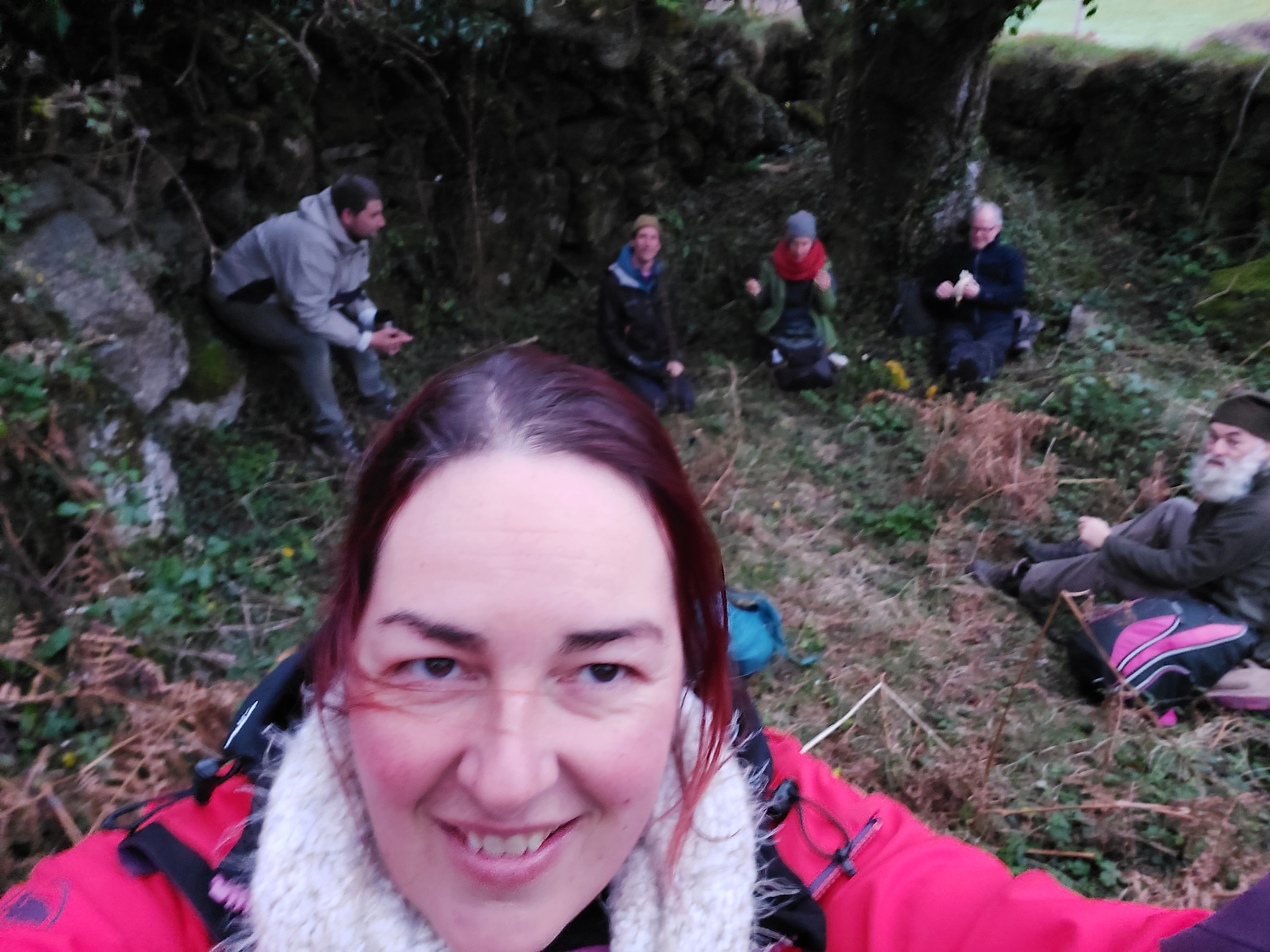


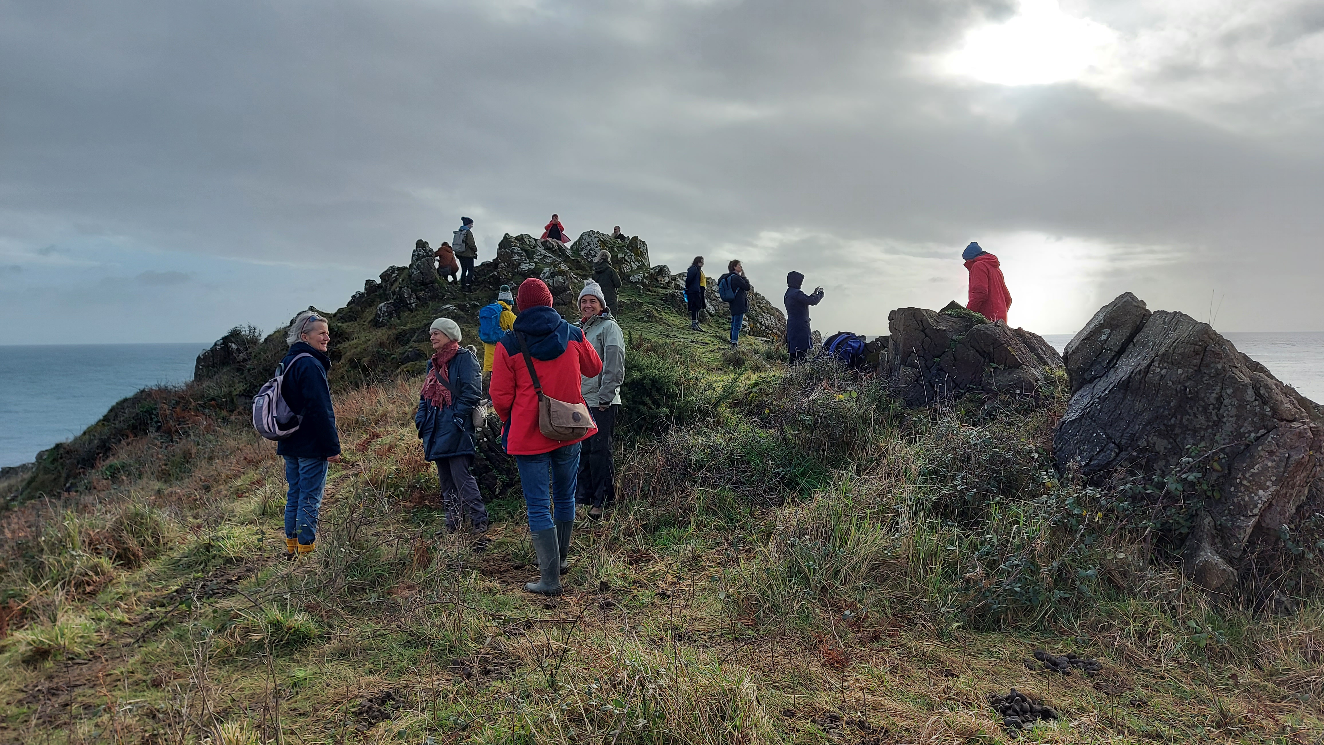


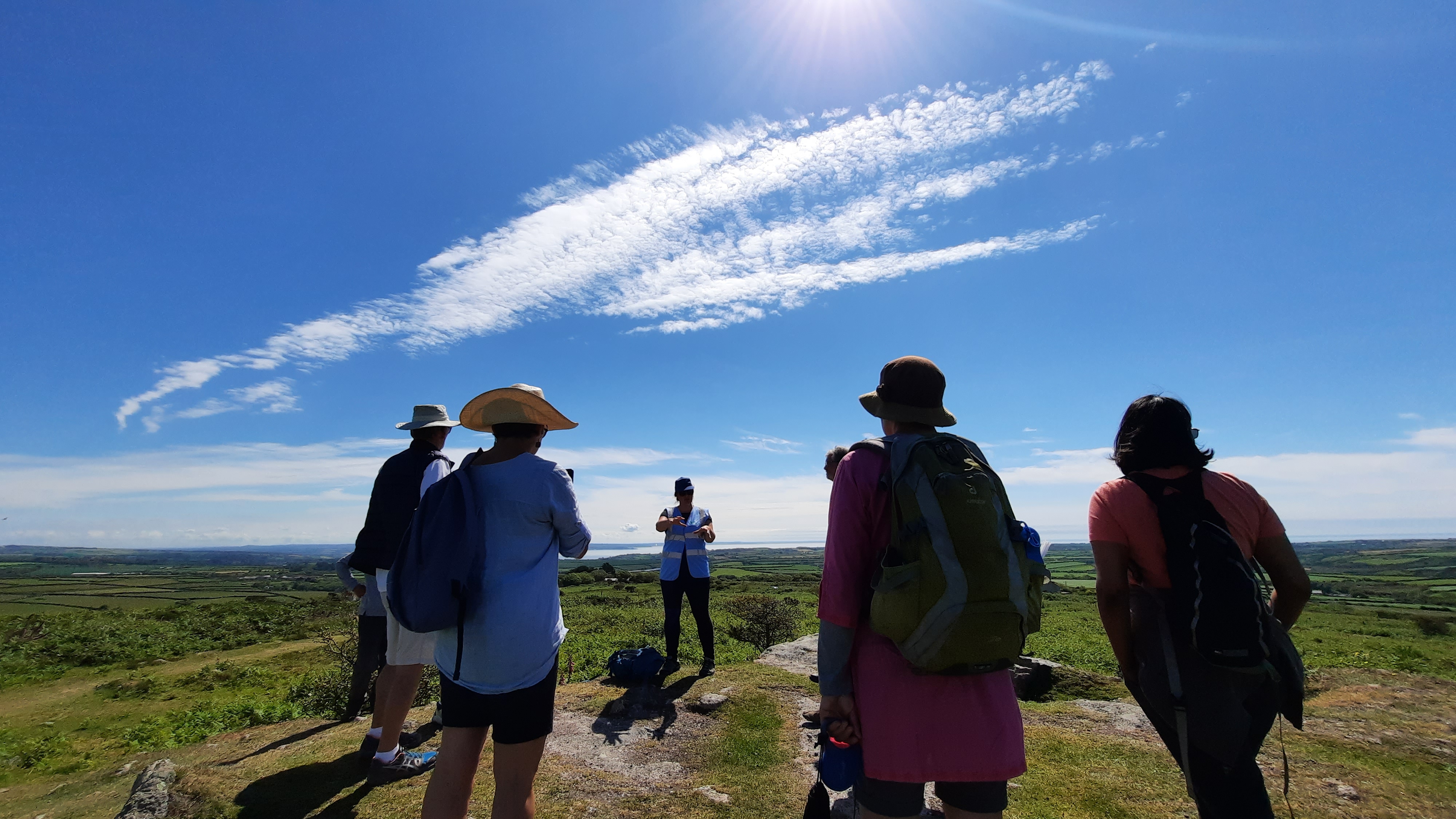


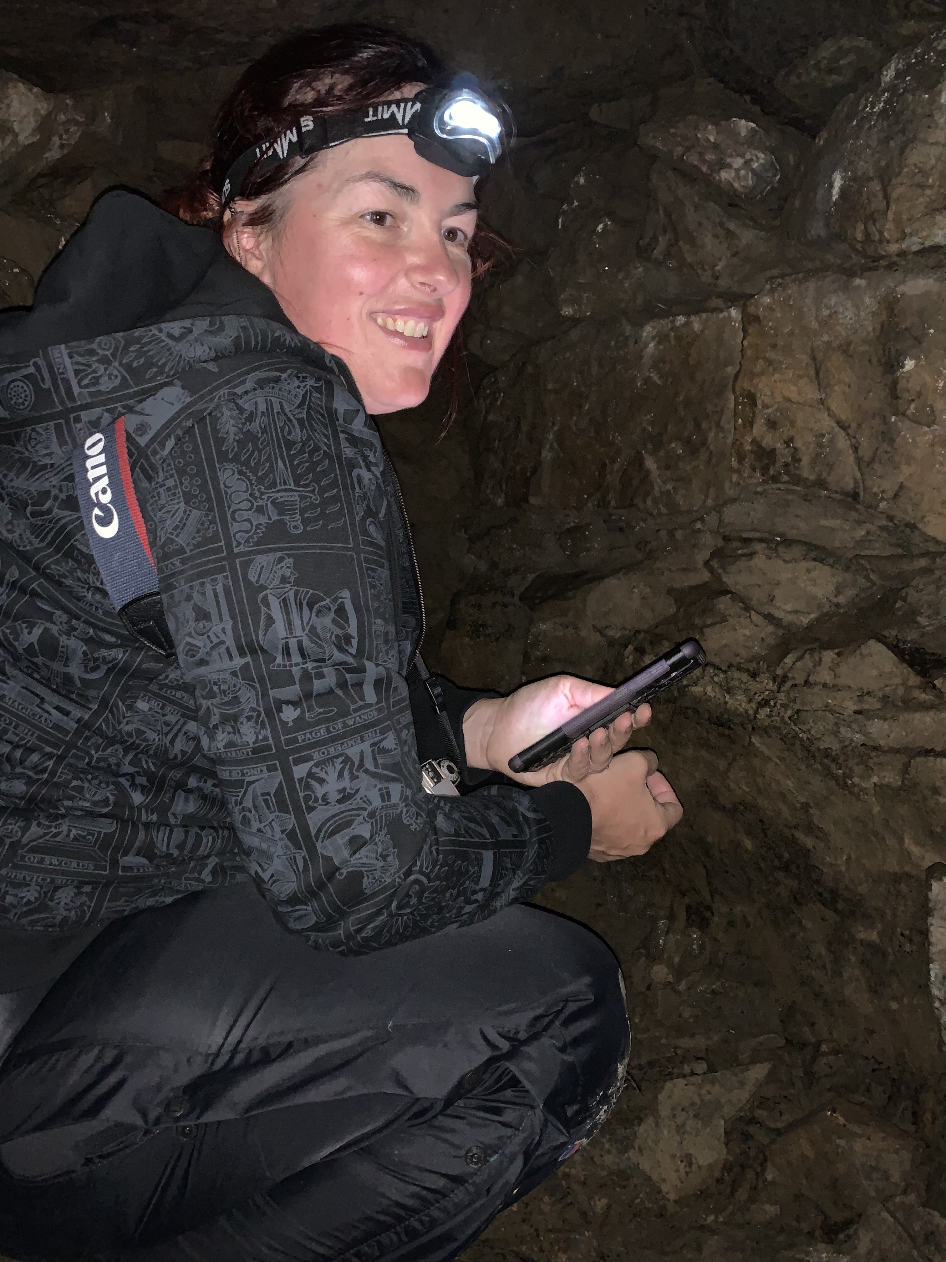
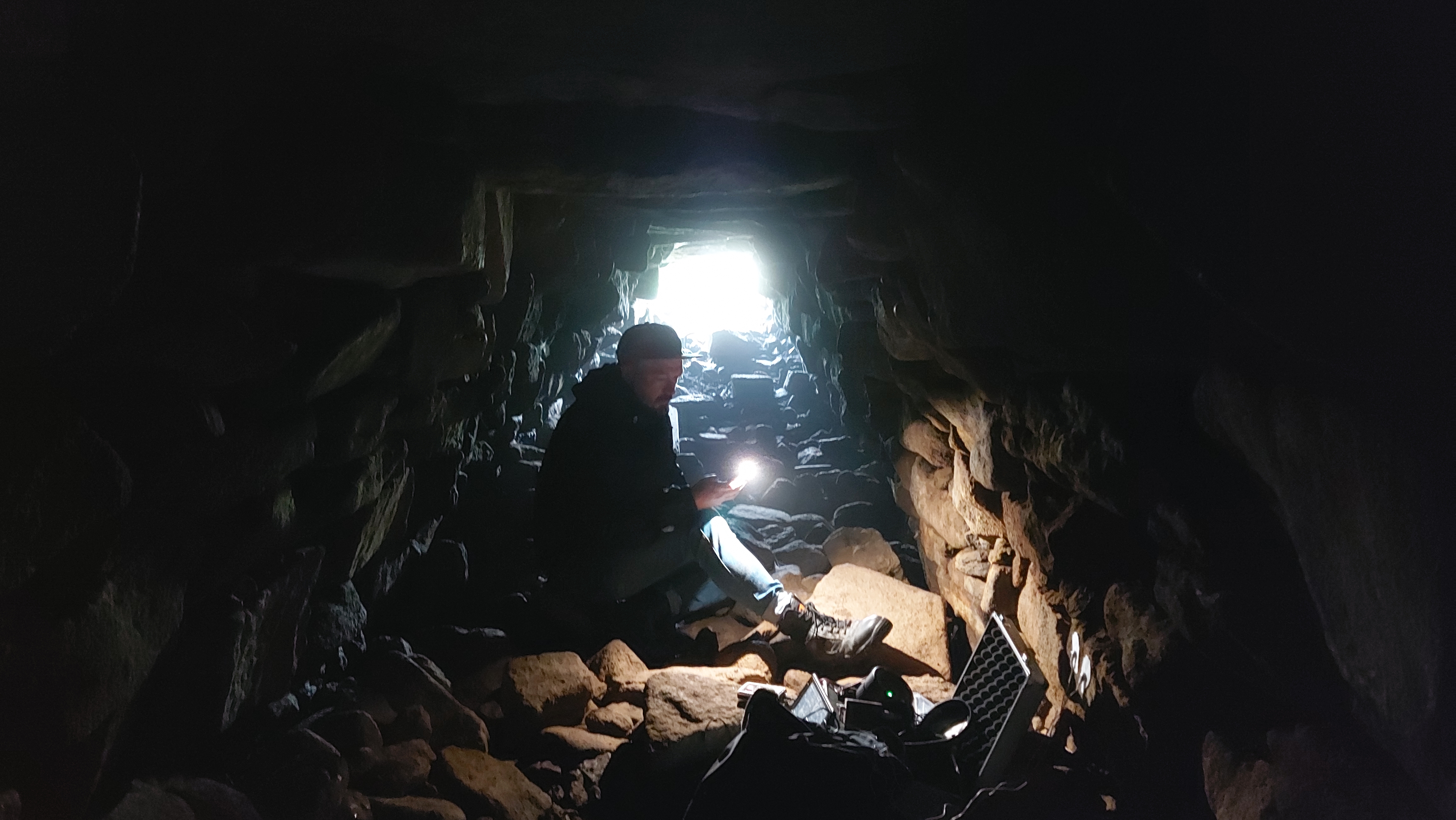


And thanks to my wonderful partner Jamie Ashley for taking the photos of me xxx

West Cornwall has been awarded Dark Skies Status by the International Dark Skies Association. Over the previous four year I had the pleasure of working with a group of interested individuals whose dedication has brought about this wonderful designation.
Here is the press release:
Dark skies above West Penwith officially recognised with prestigious International Dark Sky Park designation
The skies above West Penwith are now officially recognised with the prestigious International Dark Sky Park Designation, awarded by the International Dark-Sky Association (IDA).
Recognised as an Area of Outstanding Natural Beauty since 1959, West Penwith is only the seventh area of the UK and the second in Cornwall (after Bodmin Moor) to become an International Dark Sky Park (IDSP). The West Penwith IDSP covers the westerly section of Cornwall’s AONB; it stretches around the coastline from the outskirts of St Ives, through to St Just, Sennen and around Land’s End to Mousehole. Inland it takes in Trethewey, Sancreed and New Mill. The IDA’s IDSP Designation recognises this area as being naturally dark at night, with minimal traces of light pollution, making West Penwith one of the best places in the world to view the beauty of the night sky.
Cornwall Council supported a partnership among residents, businesses and councillors to achieve the accolade. A Steering Group comprised of local Councillors, Cornwall Council Officers, PK Porthcurno, Land’s End Accommodation Providers, The National Trust, Cornwall AONB Unit, Mayes Creative, Penwith Landscape Partnership and other passionate locals led the efforts for this IDSP nomination.
“West Penwith never faltered in its pursuit to celebrate and protect its night skies,” stated Ashley Wilson, IDA’s Director of Conservation. “The Steering Group worked closely with IDA on the necessary components to craft a thorough and complete nomination. Through this experience, Cornwall Council encourages communities both inside and outside of its borders to look to the stars and do their part to protect this natural, cultural, and precious resource. We hope to see the success of these efforts continue to grow over time to protect night skies and the nocturnal environment across the landscape scale.”
A dark night sky has wide-ranging benefits. This designation means that the partnership will continue to work to:
Mayor of St Just-in-Penwith, Sue James stated:
“When I was Cornwall’s Cabinet Member for the Environment, I was asked to support two local Parish Councillors to achieve their goal to get the pristine skies above West Penwith recognised. We formed a Steering Group to gather and document the needed evidence, engage with local councils, residents and visitors and work with the IDA in Arizona, whilst also engaging with residents, local councils and visitors. We had to show not only that we had splendid dark skies (and we all knew that) but also that we valued them and could put in place measures to monitor and protect them.”
Cornwall Council cabinet member for Environment and Climate Change, Martyn Alvey said:
“This is a tremendous community led achievement which officially recognises what we already knew, that West Penwith has a fabulous night sky which its residents are understandably proud of. It means that more people will get to know about it and come to enjoy and appreciate it.”
Kevin Hughes (former Parish Councillor) explained his reason for wanting this important designation:
“Under a pitch black starry sky in West Penwith, when sitting by some of the ancient monuments, we are looking at the very sky that 2000 years or more ago our ancestors were looking at. We must protect that sky for future generations to also be able to appreciate and wonder at.”
The following excerpt from Dark Sky Island by Enya (2015) first inspired Kevin to support this movement:
“Twilight comes to close the day
And let the night break free,
and from deep blue skies the heavens rise.”
The Steering Group thanks all those within and beyond their community that have supported and encouraged their journey. While some individuals were involved with this process as part of their paid day job, many more have given their time as volunteers.
About the IDA International Dark Sky Places Program
The International Dark Sky Places Program was founded in 2001 as a non-regulatory and voluntary program to encourage communities, parks, and protected areas around the world to preserve and protect dark sites through effective lighting policies, environmentally responsible outdoor lighting, and public education. When used indiscriminately, artificial light can disrupt ecosystems, impact human health, waste money and energy, contribute to climate change, and block our view and connection to the universe. West Penwith now joins more than 185 Places that have demonstrated robust community support for dark sky advocacy and strive to protect the night from light pollution. Learn more by visiting www.darksky.org/conservation/idsp.
About the IDA
The mission of IDA is to preserve and protect the night-time environment and our heritage of dark skies through environmentally responsible outdoor lighting. Learn more at darksky.org.
I’ve started messing around with an old analogue Canon camera with a battered lens, shooting in black and white film then developing the film myself using caffenol techniques. Caffenol.org/recipes. I’m liking some of the results and thought I would share.


Please contact me through this website to save a spot on any of these events.
Part of the Tin Coast Events Programme. Commissioned by the Tin Coast Partnership and Cornwall 365.

If you have ever wanted to learn some of the techniques used in archaeoastronomy, here is your chance. This workshop day will be in two parts and start with an introductory morning talk, followed by discussion of techniques and software which can be used to look at how the ancient skies around Cornwall would have differed to today. The afternoon will be out in the field and allow people to put into practice some of the techniques that they have learnt in the morning. Carolyn will lead both sessions.
20th April, Online 10-1pm (morning session)
Introductory talk and workshop – techniques which can be used in the field
20th April, Tregeseal. 2-3.30pm – putting ideas into practice. An outdoor workshop (afternoon session)
Putting ideas and skills to use In the field landscape around Tregeseal
THIS IS NOW FULL
18th May, The Knut St Just. 10-1pm (morning session)
Introductory talk and workshop – techniques which can be used in the field
18th May, Tregeseal. 2-3.30pm – putting ideas into practice. An outdoor workshop (afternoon session)
Putting ideas and skills to use In the field landscape around Tregeseal

This walking tour will take people on a 2.5 mile tour of the ritual landscape around Tregeseal. It will visit a stone circle, barrows, and a stone row. Carolyn will lead the walking tour and talk about each of the sites visited and if they relate to the night sky, how they do this.
There will be lots of opportunity to ask questions and learn more about the ancient landscape within the Tin Coast area.
The walk itself is easy-moderate, the ground is uneven in places and can be muddy at times.
Friday 21st May 2021 10am – Guided walk through the landscape around Tregeseal
Booking essential as number limited
This walking tour will take people on a 3 mile tour of the ritual landscape around Boskednan. It will visit a stone circle, barrows, menhir, and a holed stone. Carolyn will lead the walking tour and talk about each of the sites visited and if they relate to the night sky, how they do this.
There will be lots of opportunity to ask questions and learn more about the ancient landscape within the Tin Coast area.
The walk itself is easy-moderate, the ground is uneven in places and can be muddy at times.
Friday 23rd April 10am – Guided walk through the landscape around Tregeseal
Booking essential as number limited
Please contact me through this website to save a spot on any of these events

Sperris Quoit is located in West Cornwall and is an example of one of the earliest stone monuments found here in the UK dating from the Neolithic. A type of megalithic burial chamber, this Quoit is not as impressive as its neighbour Zennor, with only one upright it is completely missing its capstone. Although excavations found a cremation pit which gives evidence for its purpose.
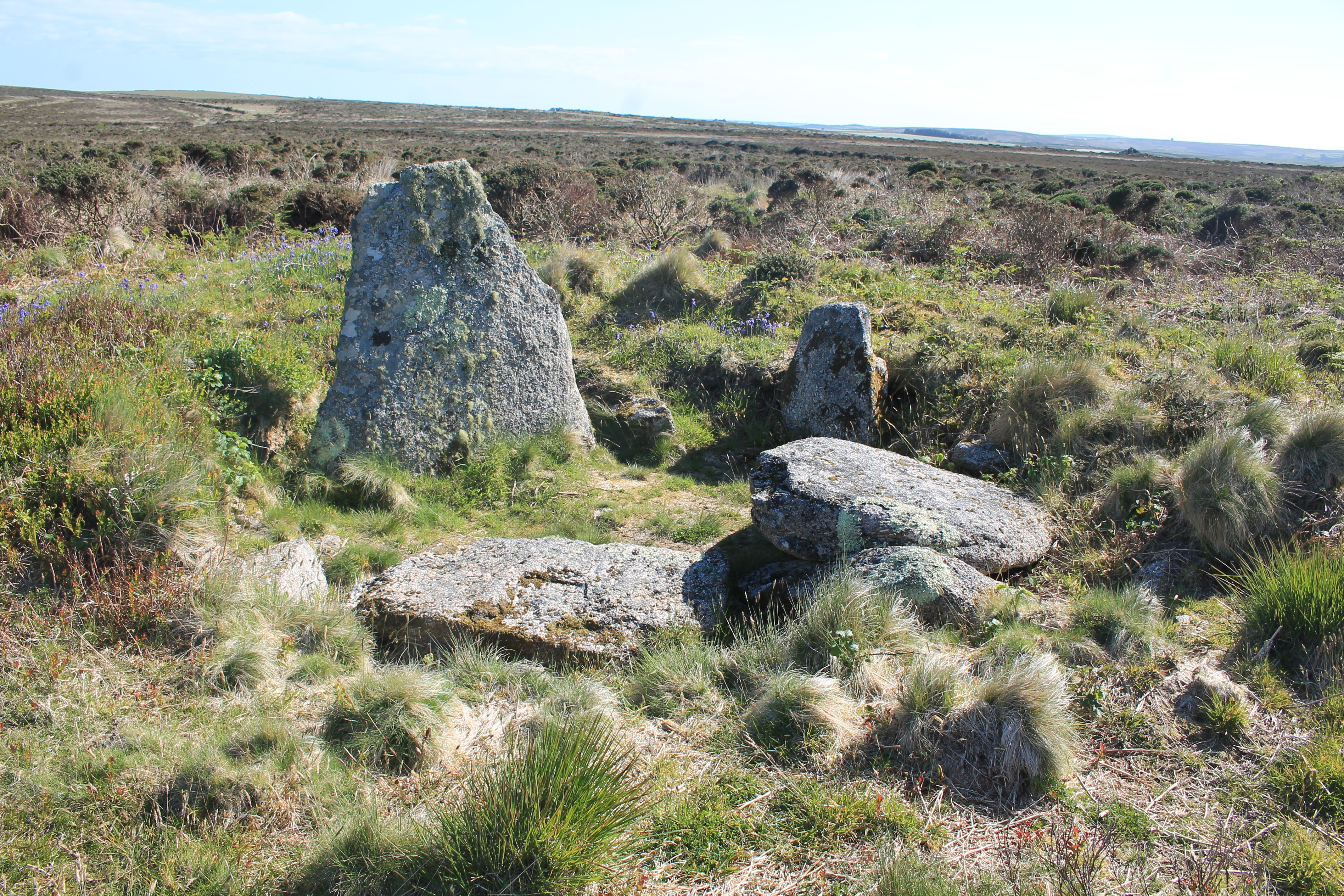
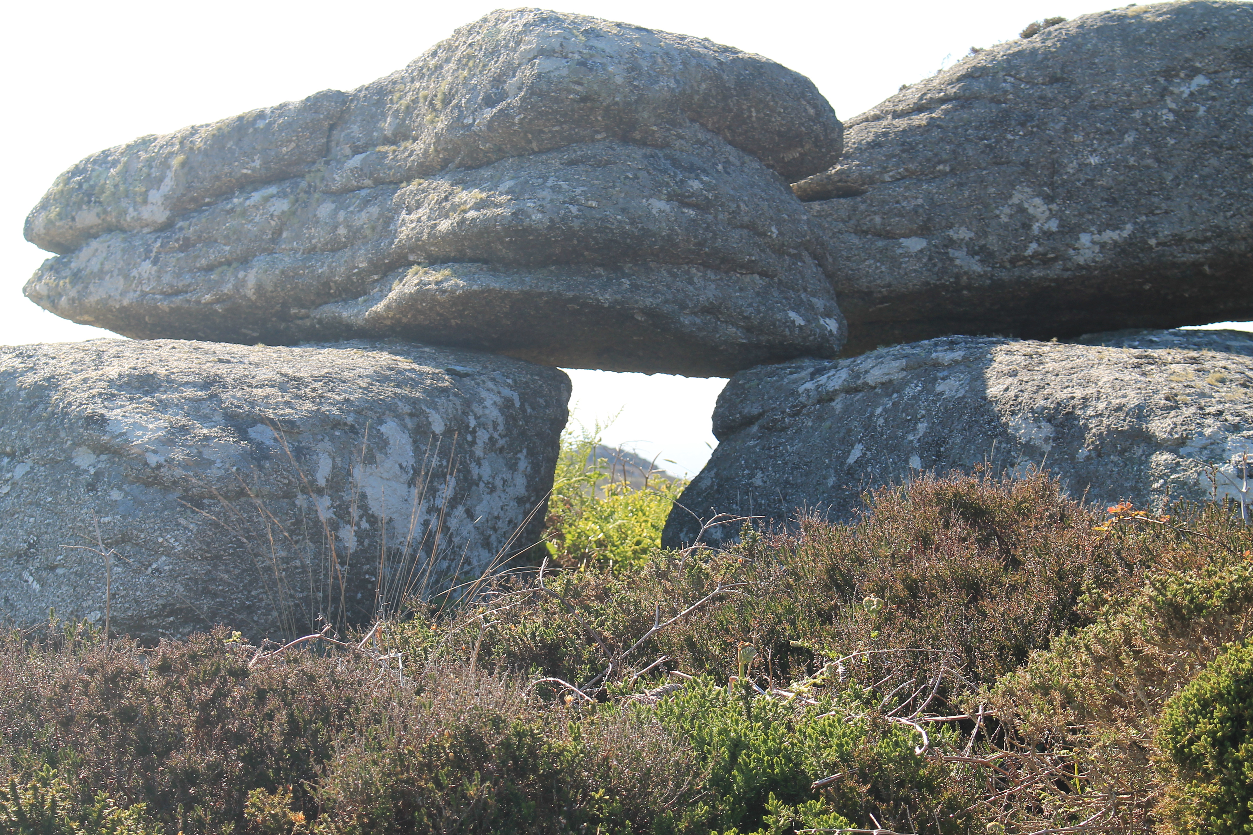
Just above the quoit are a number of interesting moor stones, some of these are capstone shaped and you can see where the inspiration for the design of some of the West Cornwall quoits came from. One collection of rocks on slightly higher ground to the quoit has a square gap through which you can look.

In one direction the quoit is framed and in the other direction a local headland.
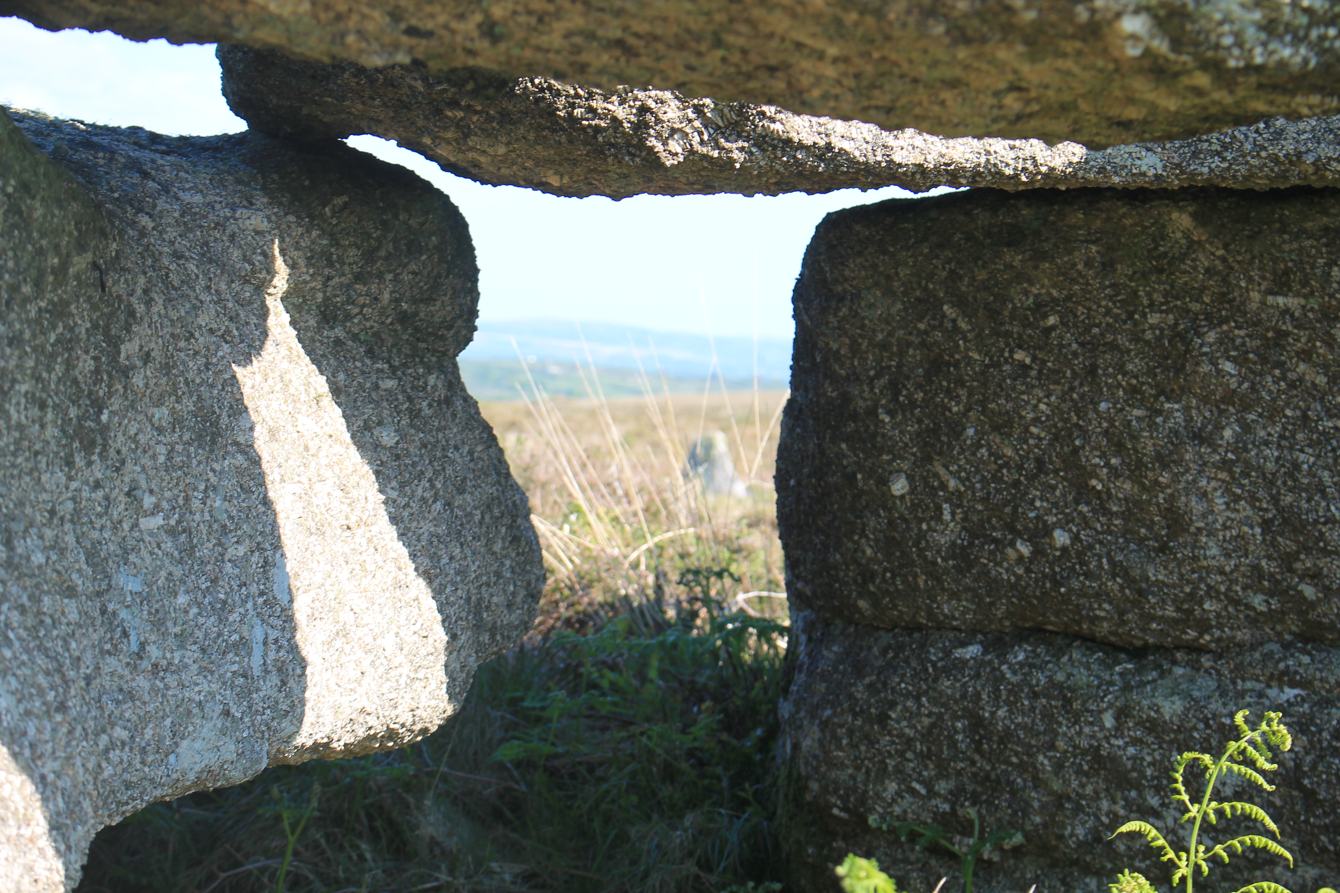
If you clamber on top you will see one of the stone has some deep etchings into the surface, whether these are natural or manmade is hard to tell, but the position of the stone and orientation of the etchings are of interest. Forming a T shape, the top of the T runs from 230 degrees in the direction of the headland to 50 degrees in the direction of the quoit.
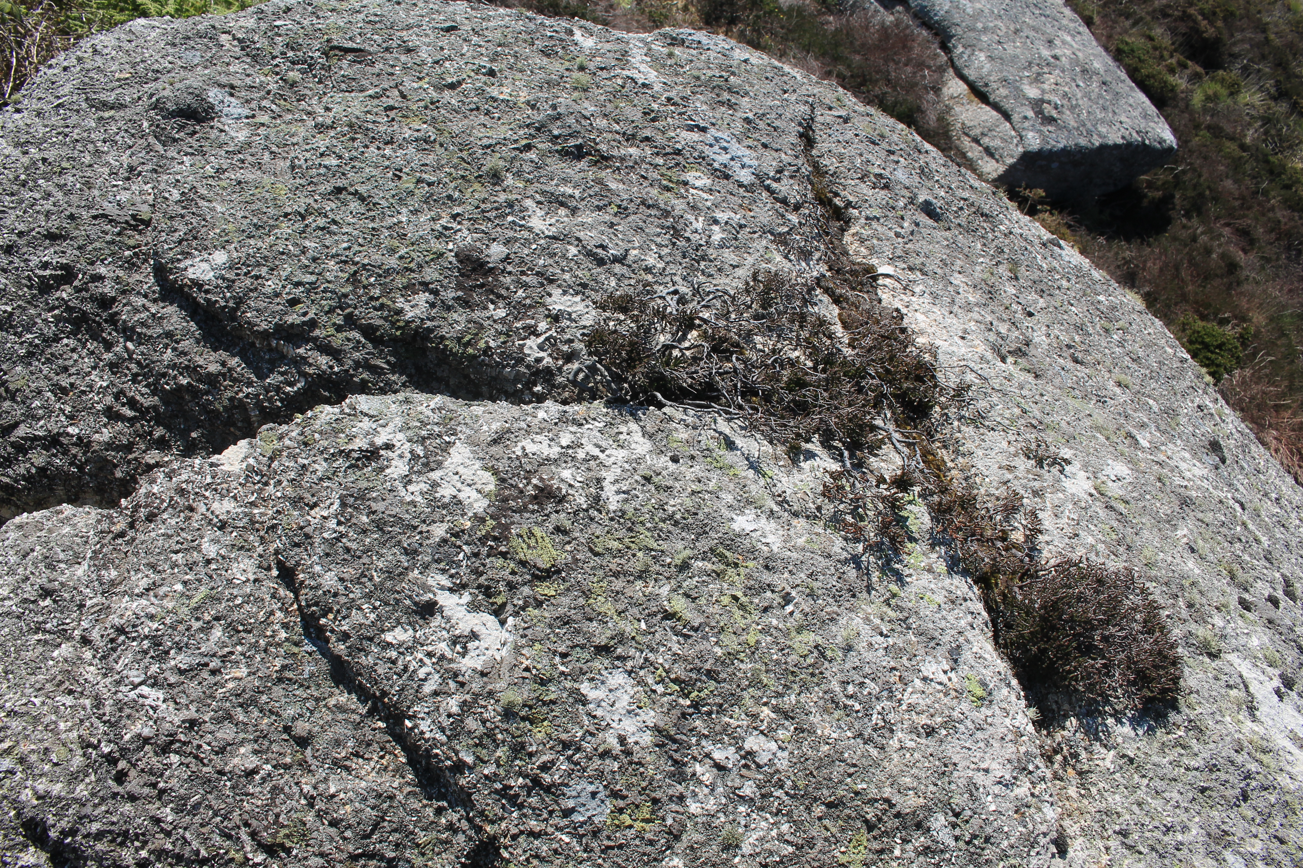
Underneath the frame seems to follow the same orientation. This would mean that the winter solstice sunset would fall over the headland and shine through the framed gap onto the quoit. Giving an illumination of the stone at this most ceremonial time of the calendar.
This has not been tested and would need to be tried out observationally before confirmation of this alignment could be verified.
The framed headland itself as a position for winter solstice is a great choice as it is a liminal location. The level of the sea horizon changes with the Moon phase, meaning that you may get the sunset onto a high sea horizon above the headland, or just onto the headland itself. If it set into the sea, you would have the added opportunity of seeing a green flash while looking through the framing stone.
