Winter Solstice is the day we mark the longest hours of darkness and the movement towards the lengthening of daylight hours once more. For many it is a powerful time in their calendar, a day to mark the start of a new year, to reflect on what they can leave behind and look forward to the time ahead. There are a number of ancient sites within Cornwall that have links to the Solstice and many of these suggest a relationship that our ancestors had with this moment within their in their lives. Connectivity that we feel resonating through the ages and is particularly heightened at times such as this one.

This year a small group of us decided to join the ancient pathway the Tinners Way to the north of Zennor and walk to the Tregeseal stone circle. A walk which we would start in the half-light before sunrise and end after we had watched the sunset at the stone circle. Anyone who knows me will hear me talk about my love of the wider Tregeseal landscape and how I believe it lends itself to a winter solstice gathering; where people can watch the sunset over the distant Isles of Scilly. The whole of Penwith is rich with prehistory, and a large number of the sites are along the Tinners Way and the direction of travel we would be moving in would take us towards the southwest and the setting sun. An imaginary line could be drawn through the monuments we were to visit and a number of them, if you had stopped there, would have the setting winter sun at another monument further along our journey, making a long winter solstice line of running down the spine of Penwith hills and part of this journey for me is to see how far people could process through the landscape, on the shortest day of the year, with a final destination in mind.
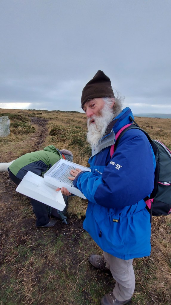
I am very interested in the ideas around processional journeys and movement through the landscape, particularly ones which would connect people to the ideas of cosmologies and be started in the time of dawn and end after sundown. I hoped the small group who joined me that day were also in the same mind. This was also a time for us to take a moment out of the daily grind and reflect on what we wanted to leave behind and how we would move forward, with mindfulness, into the next year of our lives. Walking has become a really important part of my life and during the last two years of upheaval and turmoil, I have come to appreciate the quiet and reflective time I can enjoy when out in the landscape, but it is always wonderful to be joined on an adventure especially a journey of such length, which would require both fortitude and endurance.

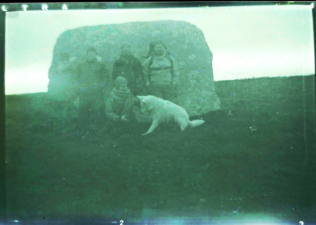
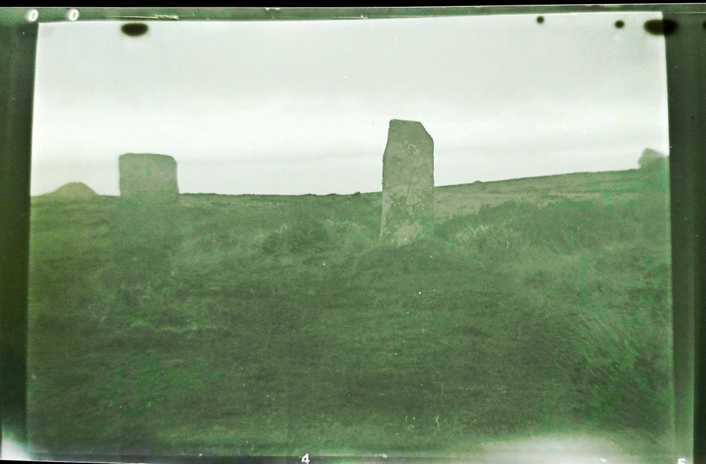
We met in Zennor just before dawn and the sky was in the main overcast, the clouds pink with the nearing sunrise. The Moon, which had been full two days prior, was still in the sky in the northwest, bringing an added element of light. Starting our journey we travelled up Rosevale valley, stopping to gather our thoughts for the day in the old and ruined miners cottage by the riverbed. It was commented on how we were a group of seven, six humans and a white wolf and in that moment of time it all felt a little otherworldly, like the start of a plagiarised fantasy tale., we all laughed at the sentiment and with the sunrise, we started on our way. Mulfra Quoit was a couple of miles away and we had to initially join the Tinners way, reaching it at the roadside near where the once impressive Tol Creeg passage grave had been destroyed and then removed in the 1960s. looking behind us we could see Zennor Quoit standing proud on the ridgeway and we got out first view of the southern coastline looking down the valley to the bay and St Michaels Mount.

The first hill of the day was in front, with Mulfa standing prominent on the top. We had settled into a nice pace at this point and think we were all excited about reaching our first ancient site of the day, one of many more to come. We had dropped into a rhythm of walking in pairs with the white wolf running back and forth between us covering triple the distance we were.
Mulfra was an opportunity to take a morning break. We huddled inside the quoit listening to the wind rip around outside. We marked the occasion with songs, poems and blessings while thinking about the journey ahead. We had a decision to make, would we continue along the Tinners or drop through Bodrifty courtyard house village and head towards Ding Dong mine, which would enable us to walk the processional route past Nine Maidens, we chose the latter. Walking down the hill to Bodrifty courtyard house village proved interesting, the white wolf, who often chose to be in front, stopped short and started to howl, spooked by something we could not see, but it nevertheless brought us all up short with notions of ancestors, meaning and what the animal could sense that we couldn’t. I must admit I really like Bodrifty, I often spend time here in the summer and as ancient sites go, I always find it peaceful, and have never had a sense of anything foreboding at the site, neither had anyone else when we discussed it, but its amazing how common ancient sites invoke feelings that we cannot explain, that connectivity with the past runs deep through us all and visiting some sites can have profound effects on peoples emotions and sense of being. With some convincing, the animal seemed to move beyond what had been bothering it and started to visit the ruined huts alongside us all. As we explored the sun started to send shafts of light onto the southern coastline and even at the distance we were from it, we could see part of the ocean shining golden. A promise of what was to come and a brightening of the skies ahead.

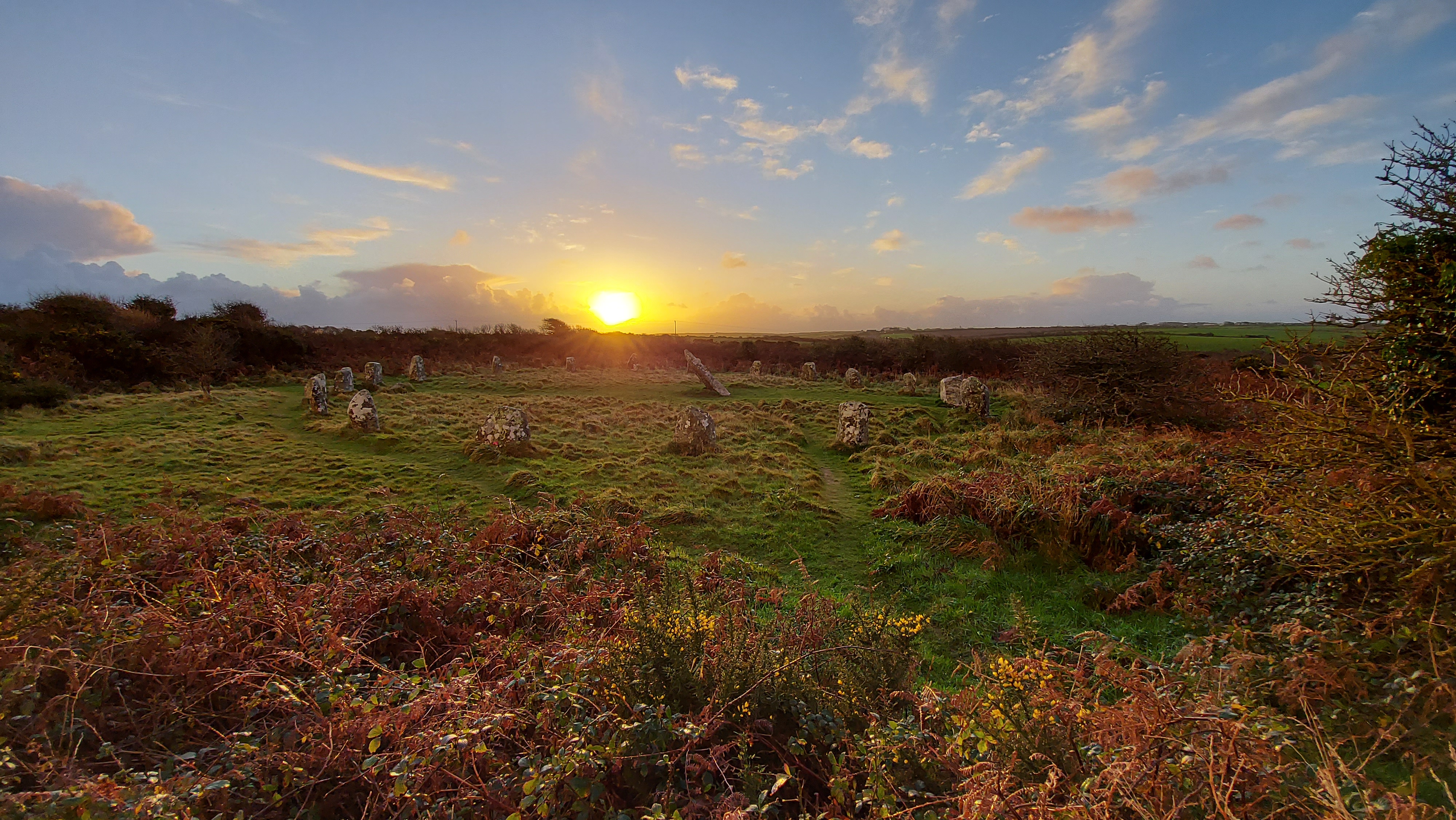
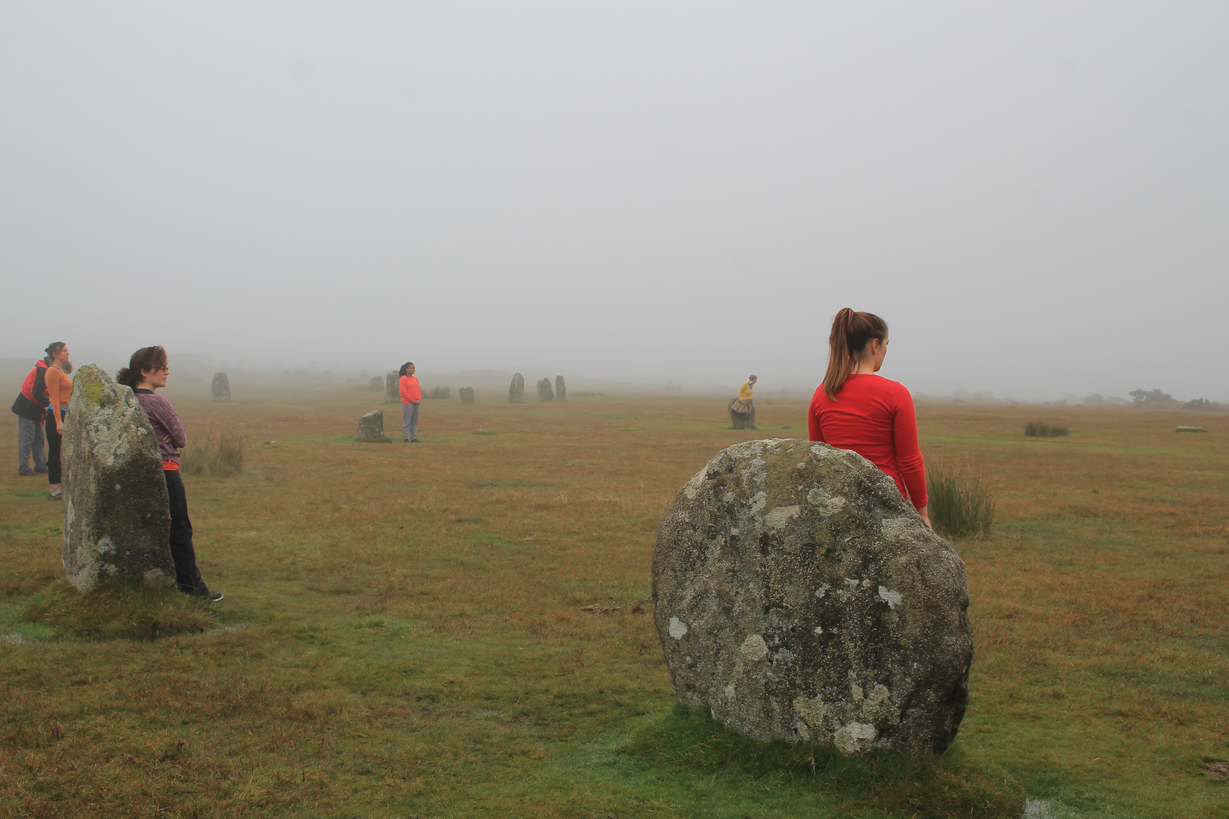
On reaching the path to Ding Dong we swung our journey to face to the north and started to walk the pathway to Nine Maidens on the top of Boskednan moor. Taking a moment to stop at the barrow we faced the impressive rocky outcrop of Carn Galva and took a moment to reflect on the people past doing the same of what we were about to today. This ridgeway is lined with barrows on both sides and by moving along it towards Carn Galver you really are walking in the footsteps of the many who have come before. I thought about the people who had built the monuments, those that had excavated them in the Victorian people (bless William Copeland Borlase and his dodgy excavation techniques :)) and the people who still come here today. The circle itself was a natural place to stop and talk about the Moon. If you are able to return here in 2025, the standstill year, you will see the moon set over Carn Galva. I would recommend heading to see the bright winter full Moon which will set over the rocky outcrop. This is a possible reason for them positioning the stone circle as they did. From here we could see the hills which we would be approaching later in our walk, those of Chûn and Kenidjack. We could also see the marker Boswen’s Menhir, which has been positioned in the winter solstice sunset position from the circle.

This seemed like a good spot for a break for lunch, the ridgeway is exposed we headed for the ring cairn and its large triangular stone., where we chatted and watched the sun emerge from behind the clouds for the first time that day.
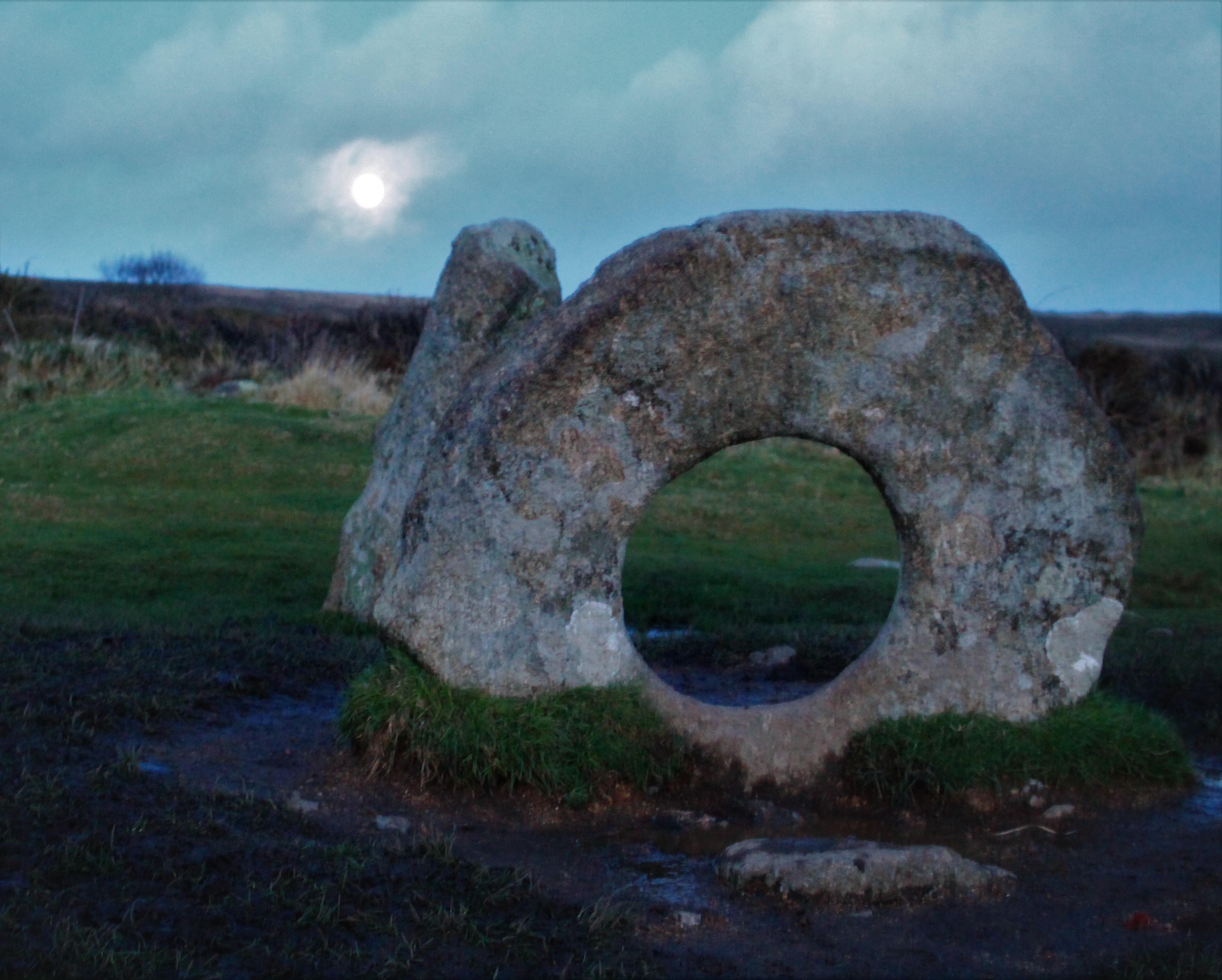
Rested up we headed down the hill to Mên Scryfa, an inscribed stone which was recommissioned in the early medieval period, originally, most likely, being a much earlier menhir. the inscription reads Royal Raven and could mark the resting place of Bran, Welsh King who had been hiding out at Caer Bran before being attacked and chased to his death at this spot. I like to think there is treasure underneath but maybe treasure from the Bronze Age, a Trevisker Style Urn with cremated remains in, rather than a king from the dark ages. The Mên-an-Tol was one of the first times we met people, others out marking the solstice day, a number of us took the opportunity to wiggle through the holed stone, the lack of water at its base made it a more present prospect than usual.


Once more we had a decision. we could head towards Chûn from here, but as we had time we decided to zigzag and include Bosiliack and Lanyon on our journey and I am so pleased we made that choice. A number of the group had never been to Bosiliack Scillonian style passage grave before and the adjoining Bronze Age village. This is such an impressive monument, perhaps even more so since it wasn’t known about until the 1980s when a gorse fire uncovered it from the undergrowth. The excavation revealed so much about the tomb, and it contained cremated remains from the Bronze Age, along with a much later dated skeleton. The tomb felt important to me to visit on this day, as it is orientated towards the sunrise at this time, and I have photographed it myself in a previous year. I doubt anyone would have been able to watch from inside, but it shows how as a community that wanted to mark this day and maybe bring light to their own ancestors who were buried within the tomb.

It had been a long time since I had approached Lanyon Quoit from this direction and although viewed from nearly everywhere else it sits within the landscape, this is one direction where it stands proud on the horizon, impressively towering up above everything around it. This quoit is interesting in that it was rebuilt after falling over and is not necessarily how the original designers, back in the neolithic imagined it.

From here we started to see the sun break through the clouds with more regularity, it was arching low in the sky and we realised that although we had a fair way to travel, the sun was well past the mid part of the day, time for us all to move on again.
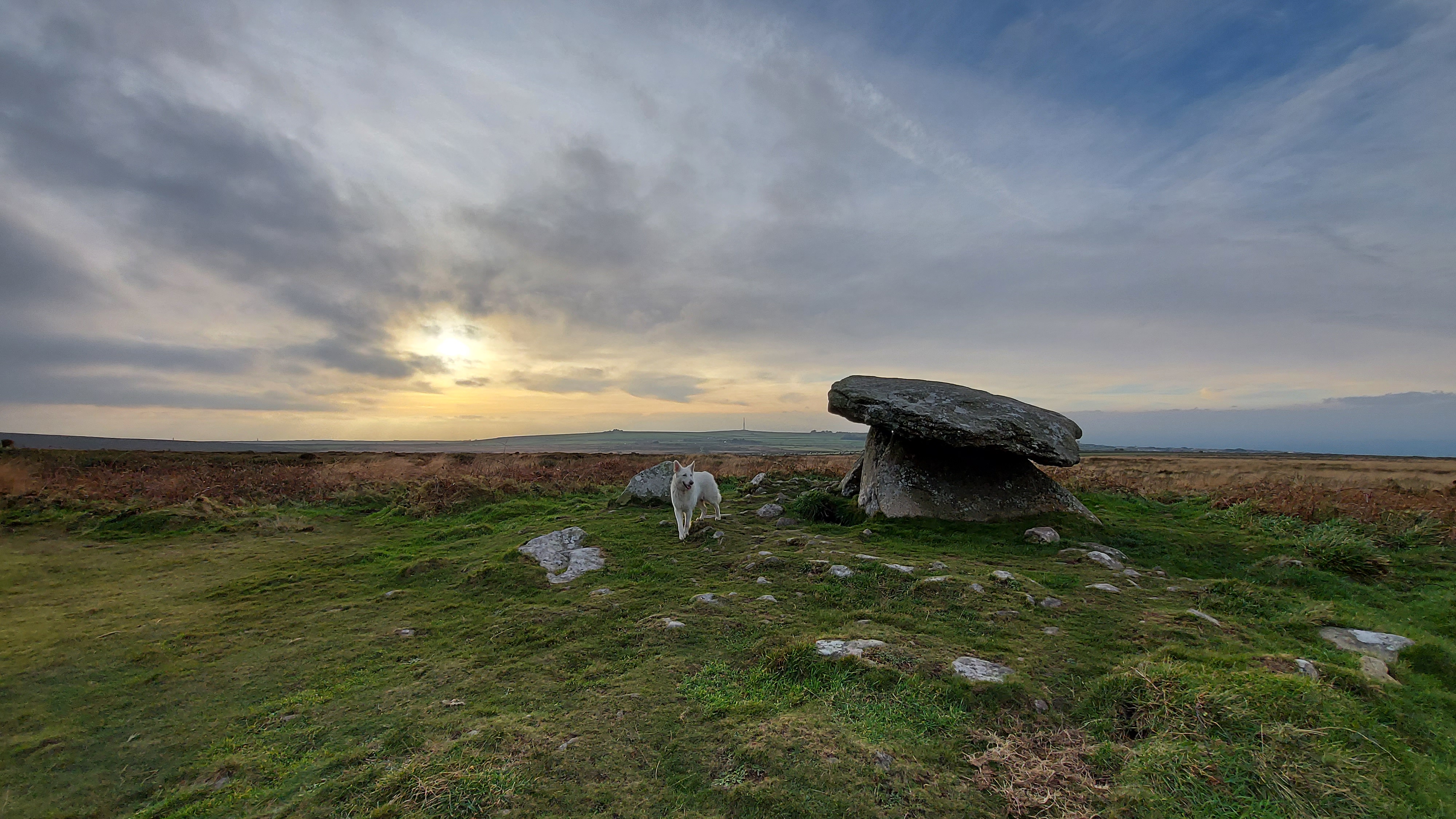
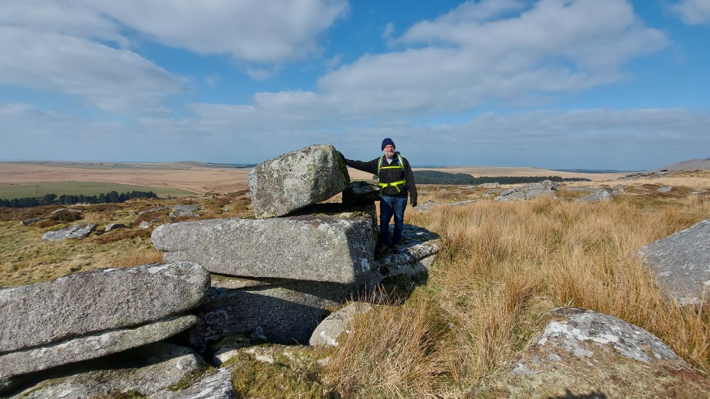
The next stretch was longer again and we approached Chûn Castle from the farm in the dip. The wind was howling and we didn’t hang around too long in the Iron Age hill fort before we headed down the hillside to the neolithic quoit of Chûn. Unlike Lanyon this quoit is in fantastic condition, which says a lot about our ancestors. The people who came millennia later in the Iron Age and built the hill fort must have held some beliefs about the monument, as they left it intact on the hillside and did not rob the stone from their grand hilltop fortress. The quoit’s capstone is heavily decorated with cup marks and there is still room to wiggle inside, which is fun. Standing here for sunset you would see the sun dip behind Carn Kenidjack and a number of people were already making their way up the hillside, in the opposite direction to us watch the sunset from this location as we headed down the hillside to Tregeseal.
I had wondered if our small group were rocked out!! But they were still keen to see as much as we could and we stopped at Portherras cist and after much chatter all day we decided we would walk the next section to the inscribed stone in quiet, giving us a time to reflect on the journey we had made already and the time ahead at the stone circle. As we walked in the direction the sun was already dropping fast and low in the sky. This was a moment I think we will all cherish from the walk, as a group we can often lose the quiet purpose behind our decision to make the journey.
The inscribed stone was very apt, most likely a Christianised menhir this stones inscription reads TAETVERA. This is Latinised 7th century Cornish: Taithuere, or “exalter of the journey”. I have read that St Just himself could be buried here, once more I like to think that if anyone was then it is most likely an urn of Bronze Age cremated remains underneath the cairn at its base.
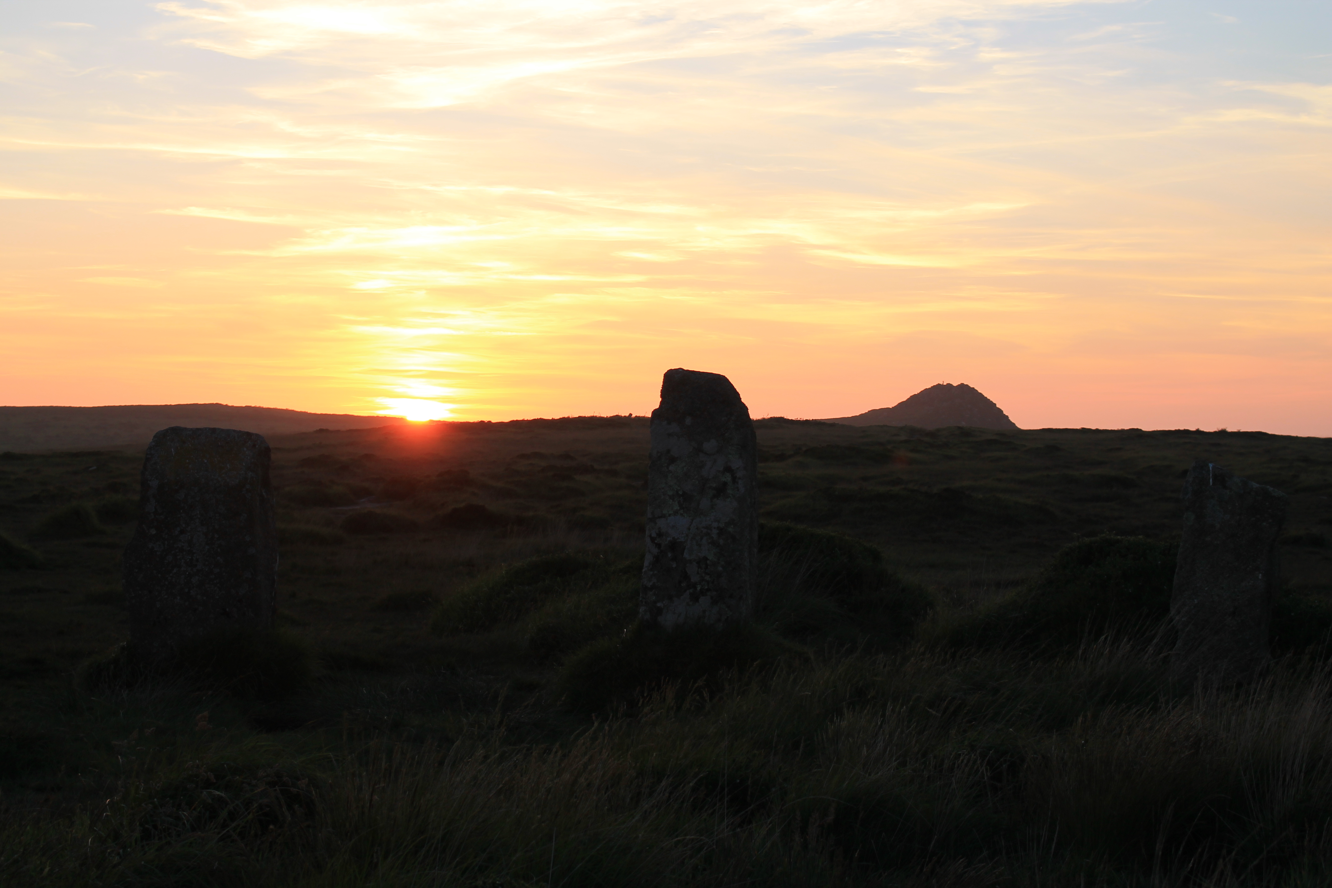
As we reached the holed stones it was incredible to see the low golden sunlight come along the row of stones, making shadows along the line of them. I love these holed stones and feel they have a really important role to play on the wider Tregeseal landscape, I reflected how long it must have taken for people to have made the holes and how they could have been used to mark the days, through the shadows and beams of light shining through the holes, possibly at this time of year. As we sat watching the sun from this location I checked my watch and the sun passed the actual moment of solstice. The time when the sun is directly above the Tropic of Capricorn. The sunset was also fast approaching and we needed to move to the circle below to watch it.

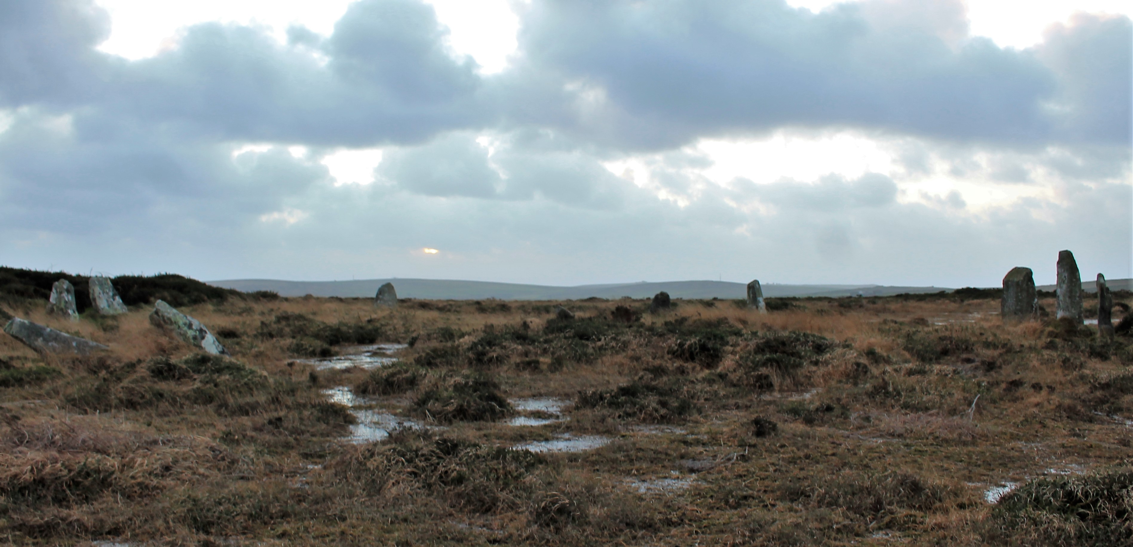
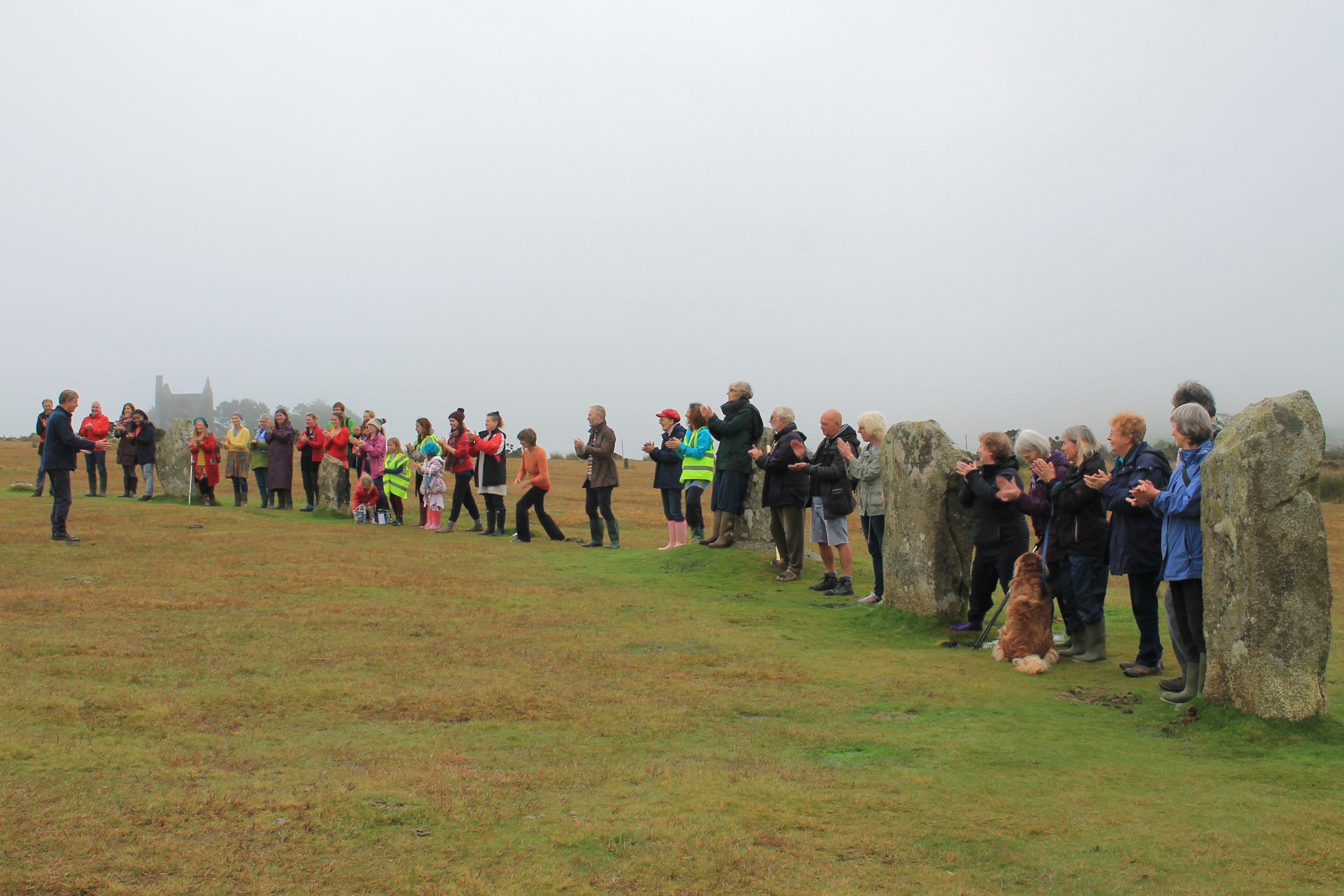
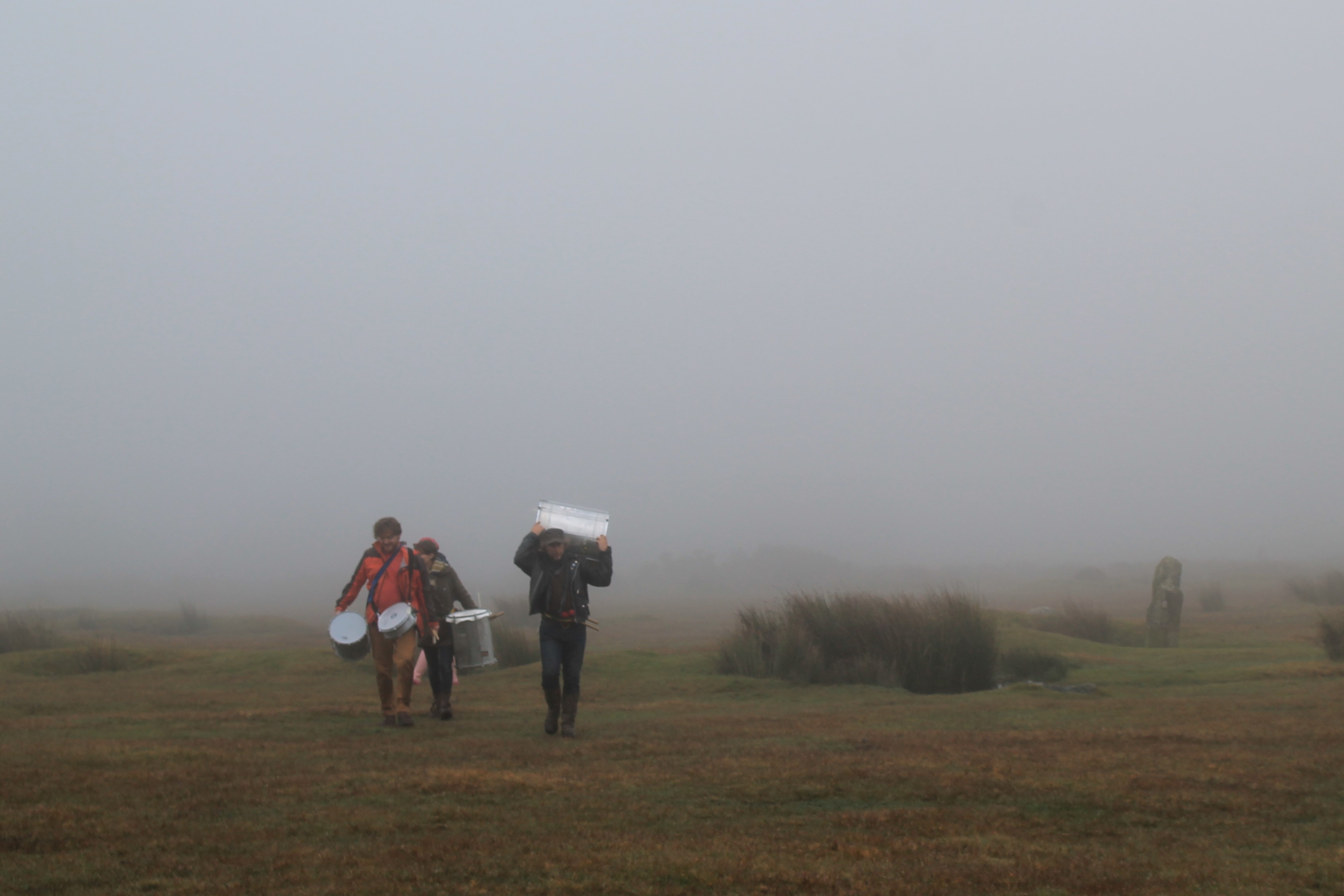
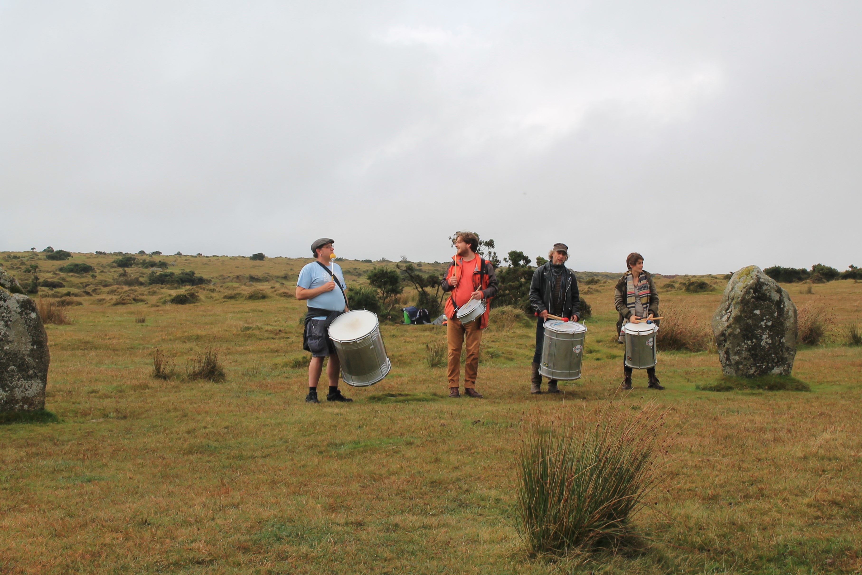
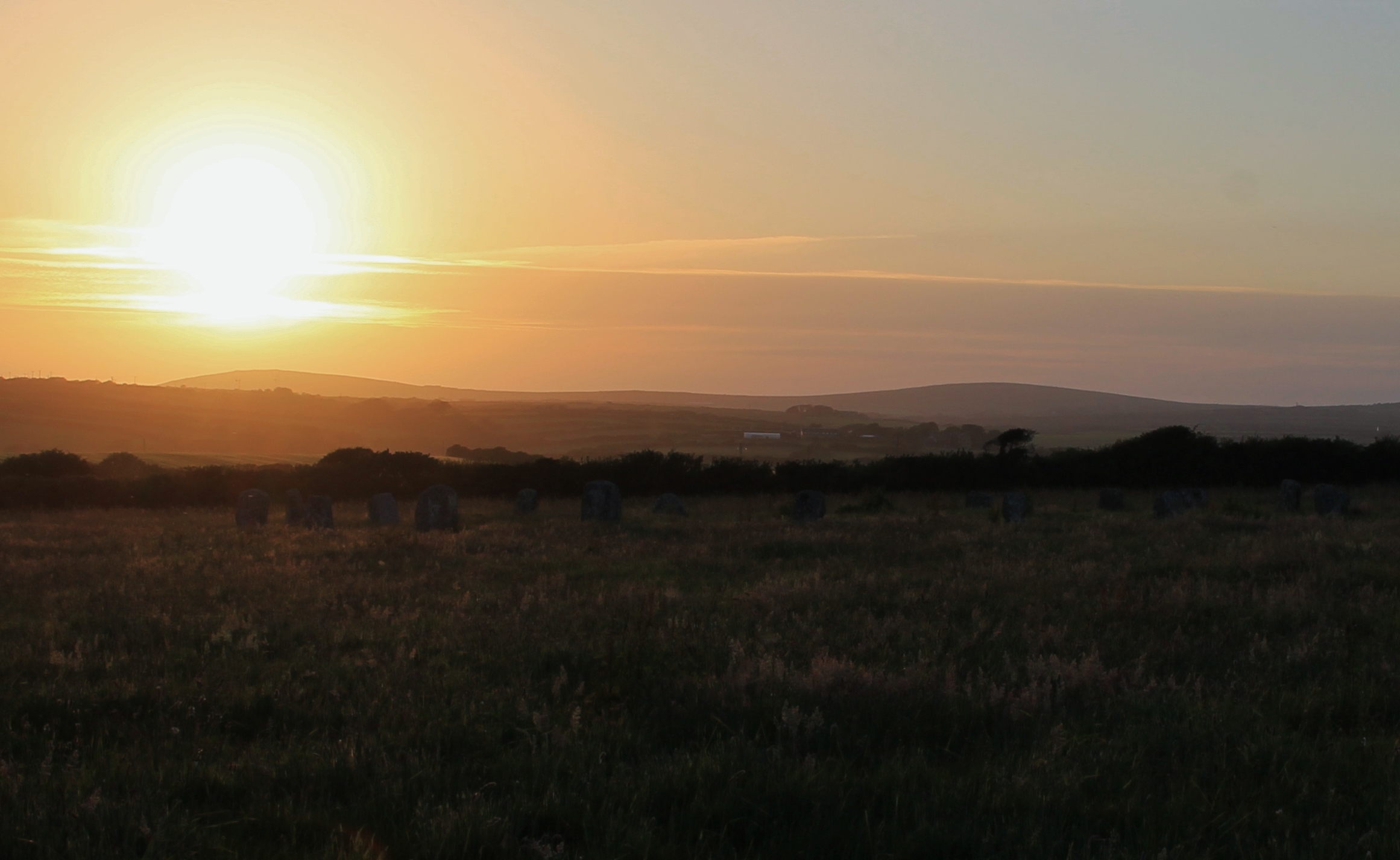
Tregeseal is such a special landscape to watch the winter solstice sunset from. A lot has changed since the circle was built. Originally another circle stood next to this one, and the huge hedge to the south was not put in place until the mid 20th century. Nevertheless, you can get a small sense of what it was like for people who made the journey to this site to watch the sunset on the solstice. There is a small glimpse of the sea, and on this sea gap on a clear day you can see the distant Isles of Scilly and it is on these islands that the sun will set. Suggesting connectivity which we can see reflected in shared monuments and material goods between the islands and mainland. At this moment more people came to add to our group and we celebrated the closing of one chapter and moved into the next with the setting of the sun on the shortest day of the year.

With weary legs and tired feet we had one more hill to climb back to our transport, we made this in the gloom of dusk; the night was fast approaching and by the time we reached the end, reflected sunlight could be seen on Venus and Jupiter. A reminder that sunlight was ever-present even in the darkest of times
I want to thank everyone who joined me on this walk and I am so pleased the weather was much improved to last years, Lanomrna Gap to Tregeseal.
We will be back next year with another walk, so if you are mad enough to want to join a hardy but fun bunch of people on a full day winter solstice walk let me know.


Places visited
Mulfra Quoit, Bodrifty courtyard house village, Nine Maidens stone circle, Nine Maidens barrows, Ring Cairn, Mên Scryfa, Mên-an-tol, Bosiliack passage grave, Bosiliack bronze age village, Lanyon Quoit, Chûn Castle, Chûn Quoit, Portharras barrow cist, Inscribed Menhir, Kenidjack Stone row, Tregeseal barrows, Tregeseal stone circle